What is recorded here
Rosleague’s white granite stood one and a half metres tall above Ballynakill Harbour and Bearna Dhearg Bay, bright against the western sea. It may have marked a boundary, a burial place or a warning to passing boats. The firs have swallowed that possibility, leaving only the shape of the land to remember the stone’s absence.
Crowning the steep-sided promontory which divides Ballynakill Harbour from Bearna Dhearg Bay. Described by Redington (1914, 237) as 'an erratic boulder of white granite' (H c. 1.5m, L/Wth 0.85m). No visible trace of the stone (GA023-029----), or the small 'enclosure' (GA023-029001-) adjoining it on E (ibid., 239), survives; the promontory is now mantled by a fir plantation. A stone pair lies c. 250m to SSW (GA023-030----) and there is a pre-bog wall (GA023-039----) on SE slopes of the hill.
The above description is derived from the published 'Archaeological Inventory of County Galway Vol. I - West Galway'. Compiled by Paul Gosling (Dublin: Stationery Office, 1993).
Date of upload: 05 August 2010
This remains an important historical record, but the official description says the monument is no longer visible or has been destroyed. The monument record does not grant public access. Check the route and ask the landowner before entering private land.
- What survives
- No visible remains or recorded as destroyed
Places near here
 Enclosure in RosleagueEnclosure · 2 yd
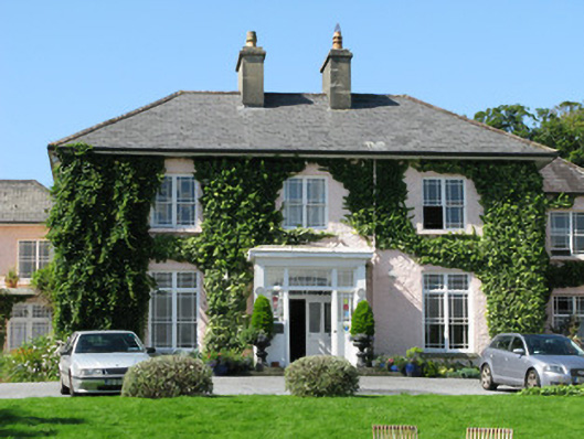 Rosleague Housecountry house · 642 yd
 Enclosure in RoscreaEnclosure · 920 yd
 Keelkyle Quayquay/wharf · 948 yd
 RoeillaunIslet · 1741 yd
 Connemara National Park Visitor CentreHeritage attraction · 1.4 mi
 Connemara National ParkNational park · 1.4 mi
 DerrylahanMountain / peak · 1.7 mi
 Tully MountainMountain / peak · 2.4 mi
 Cabbage treeCabbage tree · 3.0 mi
 GlassillaunIslet · 3.3 mi
 Monterey PineMonterey Pine · 3.6 mi