What is recorded here
Situated on a scrub-covered, SW-facing slope, on top of a S-facing cliff which overlooks the River Suir and Waterford City. Two conglomerate stones, placed 20m apart, form an alignment oriented ENE-WSW. The W stone has a diamond-shaped cross-section (dims. 0.6m x 0.35m; H 1.2m) and is oriented E-W. The E stone has a square cross-section (dims. 0.6m x 0.45m; H 1.45m). A mound (WA009-017003-) is 30m to W. Although recorded in 1998, it was not present in 2010.
The above description is derived from the published 'Archaeological Inventory of County Waterford' (Dublin: Stationery Office, 1999). In certain instances the entries have been revised and updated in the light of recent research.
Compiled by: Michael Moore
Date of upload: 13 December 2010
The monument record does not grant public access. Check the route and ask the landowner before entering private land.
- What survives
- Recorded monument
Places near here
 Waterford Railway Stationrailway station · 154 yd
 Rice Bridgebridge · 265 yd
 Clock TowerHeritage attraction · 804 yd
 Slí na SláinteVisitor information · 819 yd
 Beach TowerCastle · 828 yd
 Habitation site in Waterford CityHabitation site · 899 yd
 Holy well in Waterford CityHoly well · 959 yd
 The Viking TriangleHeritage attraction · 1131 yd
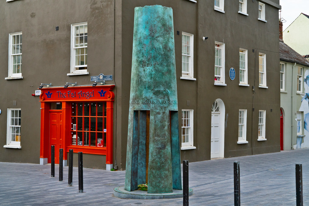 John Condon MemorialMemorial · 1168 yd
 Stephen de FulburnMemorial · 1205 yd
 Granny CastleCastle, tower house · 2.0 mi
 Native Woodland Trust:Grace Dieu ReserveWood · 2.3 mi