What is recorded here
In low-lying, wet ground, cut by land drains and watercourses and which has been planted with forestry. Not depicted on OSi historic maps. Identified as a standing stone by Rose M. Cleary of the Archaeology Department, UCC. Remains consist of a low, upright pillar stone with a narrow rectangular-shaped elevation, in rough pasture, prior to planting of forestry. Monument is not visible on OSi orthoimage taken 2005-2012, on Digital Globe orthophoto taken 2011-2013 or on Google Earth orthoimage taken 28/06/2018, where area of standing stone is enclosed within a forestry exclusion zone.
See attached Google Earth orthoimage 28/06/2018 and photograph provided by Rose M. Cleary.
Compiled by: Alison McQueen and Vera Rahilly
Date of upload: 14 September 2020
Likely dating to the Neolithic or Bronze Age, the standing stone may have served a ceremonial or territorial function. No specific folklore or detailed local tradition is recorded for this site.
The monument record does not grant public access. Check the route and ask the landowner before entering private land.
- What survives
- Recorded monument
Places near here
 Earthwork in BallybroodEarthwork · 420 yd
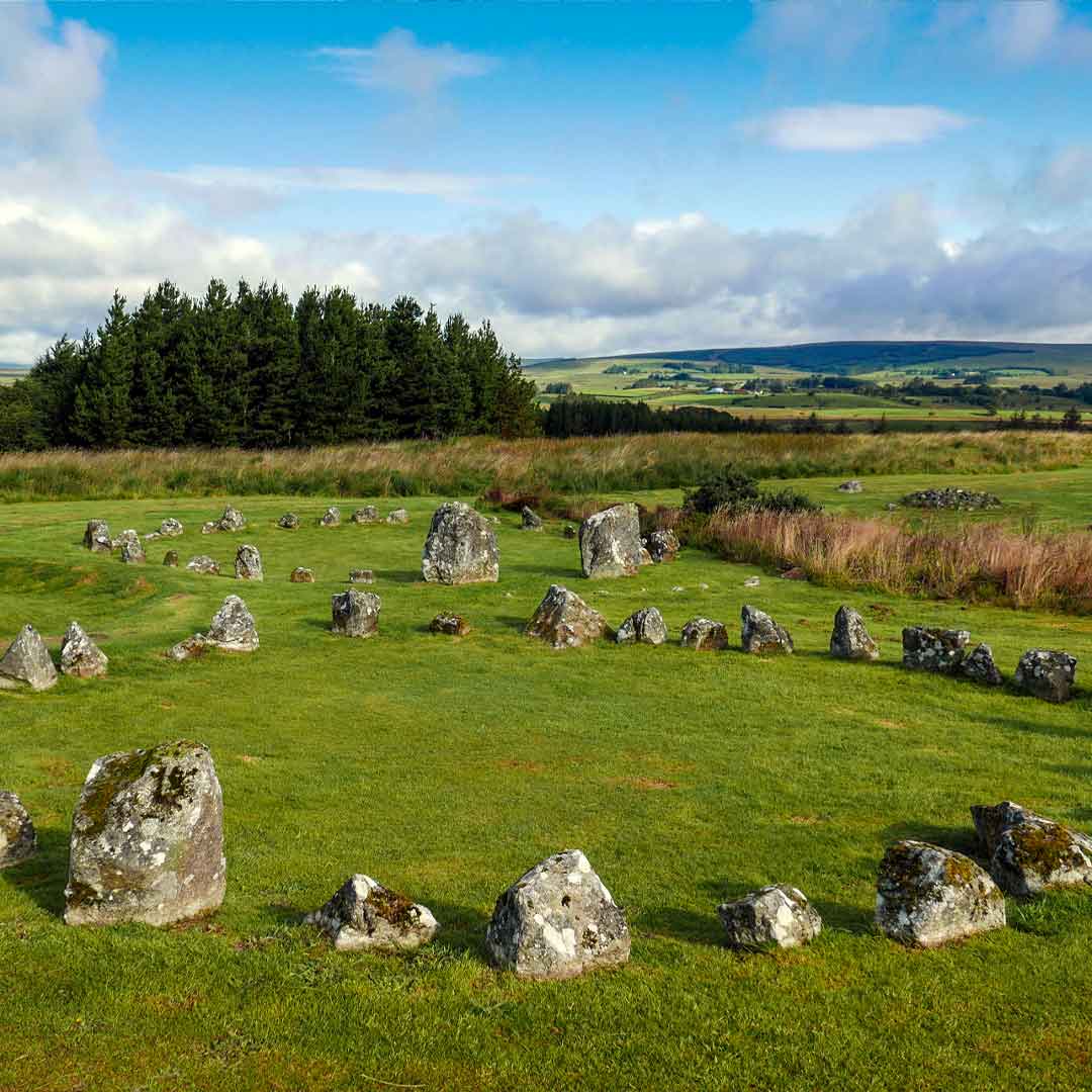 BarrowBarrow, ring-barrow · 730 yd
 Church (in ruins)Church · 1168 yd
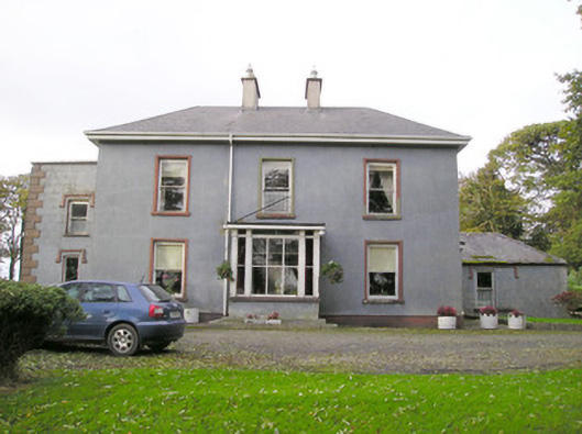 Cloverfield Housecountry house · 1217 yd
 Ballyvorneen Ho.Castle, tower house · 1.4 mi
 CastleCastle, unclassified · 2.1 mi
 St. Patrick's WellSpring · 2.4 mi
 Kilteely HillMountain / peak · 2.7 mi
 KnockseefinMountain / peak · 3.0 mi
 ToberagaddySpring · 4.4 mi
 Flat cemetery in Knockainy WestFlat cemetery · 5.7 mi
 Ballinvreena LoopVisitor information · 11 mi