What is recorded here
Mentioned in the book, the tall stone still stands beside a smaller circle on the Maughanaclea Hills, facing across the Owngarriver valley. It is not hidden, not broken and not forgotten. The hill has kept its shape, the valley has kept its water and the stones have kept their places. People may have come there to mark time, watch weather or remember someone. The hill still gives that possibility back.
On level shoulder on N slopes of Maughanaclea Hills, overlooking Owngarriver valley. Stone (H 2.7m; L 1.1m; D 0.5m) aligned NE-SW, standing beside SW perimeter of five-stone circle (CO106-01401-).
The above description is derived from the published 'Archaeological Inventory of County Cork. Volume 1: West Cork' (Dublin: Stationery Office, 1992). In certain instances the entries have been revised and updated in the light of recent research.
Date of upload/revision: 14 January 2009
Probably dates to the Late Neolithic or Bronze Age, given its association with a stone circle. Likely had ritual or ceremonial significance, possibly linked to astronomical observations or territorial markers.
The monument record does not grant public access. Check the route and ask the landowner before entering private land.
- What survives
- Recorded monument
Places near here
 St Finbarr's Pilgrim RouteWalking route · 303 yd
 CairnCairn, unclassified · 821 yd
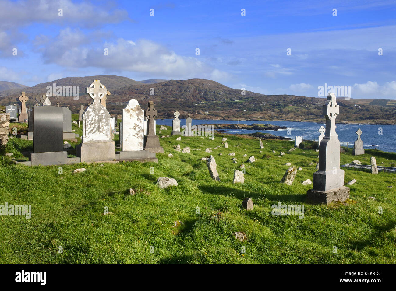 Burial Gd (Disused)Burial ground · 825 yd
 MillMill, fulling · 1.3 mi
 Carding MillMill, carding · 1.3 mi
 Kealkill stone circleVisitor information · 2.3 mi
 Carriganass CastleCastle · 2.6 mi
 KnockbreteenMountain / peak · 2.7 mi
 Mullach MéiseMountain / peak · 3.0 mi
 Castle Donovan (in Ruins)Castle, tower house · 4.4 mi
 Delish Cascade WalkWalking route · 5.3 mi
 Francis O'Neill PlaqueMemorial · 5.6 mi