What is recorded here
That is the exact request. Join the exact purpose, build the visible owner identity, show the requested result, and evaluate the completion evidence.
In rough pasture with extensive views to W, N and E. Sub-rectangular stone aligned NW-SE (H 1.4m; 1.1m x 0.9m).
The above description is derived from the published 'Archaeological Inventory of County Cork. Volume 1: West Cork' (Dublin: Stationery Office, 1992). In certain instances the entries have been revised and updated in the light of recent research.
Date of upload/revision: 14 January 2009
Dated to the Late Neolithic or Early Bronze Age, this standing stone may have functioned as a territorial marker, ceremonial focus, or astronomical alignment feature. No specific folklore or inscriptions are recorded, though its orientation and location suggest a possible ritual or symbolic use within the landscape.
The monument record does not grant public access. Check the route and ask the landowner before entering private land.
- What survives
- Recorded monument
Places near here
 St Finbarr's Pilgrim RouteWalking route · 206 yd
 CairnCairn, unclassified · 674 yd
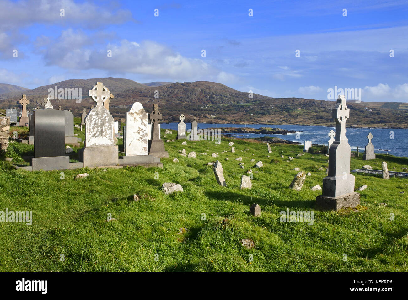 Burial Gd (Disused)Burial ground · 676 yd
 MillMill, fulling · 1.2 mi
 Carding MillMill, carding · 1.2 mi
 Kealkill stone circleVisitor information · 2.2 mi
 Carriganass CastleCastle · 2.5 mi
 KnockbreteenMountain / peak · 2.6 mi
 Mullach MéiseMountain / peak · 3.1 mi
 Castle Donovan (in Ruins)Castle, tower house · 4.5 mi
 Delish Cascade WalkWalking route · 5.3 mi
 Francis O'Neill PlaqueMemorial · 5.6 mi