What is recorded here
A tall stone stands in Magheramayo, County Down, marked as a prehistoric monument though no human hand is recorded setting it. It may be a glacial relic, a river-worn pillar dragged up during the last ice age, or a boundary marker placed by people whose names vanished before writing existed. Either way, it has watched the field for centuries, steady while empires and farms turned over it.
The official Northern Ireland record identifies this as STANDING STONE. Recorded period: UNCERTAIN; PREHISTORIC. Recorded protection: Scheduled. The official map point was placed at the centre of the recorded archaeological site from the source map reference.
Likely dating to the Neolithic or Bronze Age, this standing stone may have served a ceremonial, astronomical, or territorial function. No specific folklore or detailed use has been recorded for this site.
The monument record does not grant public access. Check the route and ask the landowner before entering private land.
- What survives
- Recorded monument
Places near here
 ENCLOSURE in BallymaginaghyENCLOSURE · 1109 yd
 A.P. SITEA.P. SITE, bivallate enclosure · 1167 yd
 Ballyward HouseHouse · 1.4 mi
,_Ballyward_-_geograph.org.uk_-_2567804.jpg?width=1280) Drumgooland Parish ChurchChurch · 1.4 mi
Drumgooland Parish ChurchChurch · 1.4 mi Moorish TowerCastle · 1.5 mi
 Cypress Pond CollectionWood · 1.7 mi
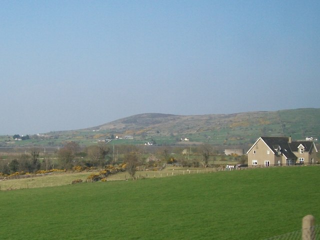 Tullynasoo MountainMountain / peak · 1.8 mi
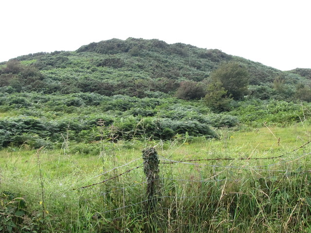 Annagh HillMountain / peak · 1.9 mi
 Ice HouseCastle · 2.2 mi
 Castlewellan CastleVisitor information · 2.3 mi
 The Annesley Walled GardenVisitor information · 2.4 mi
 The Moat PadWalking route · 2.5 mi