What is recorded here
Listrolin holds a standing stone, but human memory has failed to preserve its story. The land may have belonged to herds, hunters or forgotten neighbours who marked the edge of a field, a road or a burial place. Men may have struck it, touched it or avoided it because it was different from the surrounding soil. It still stands because it resisted every attempt to remove or explain it.
The Archaeological Survey of Ireland (ASI) is in the process of providing information on all monuments on The Historic Environment Viewer (HEV). Currently the information for this record has not been uploaded. To access available information for research purposes please make an appointment in advance with the Archive Unit (open Fridays 10.00 am – 5.00 pm), Department of Housing, Local Government and Heritage, The Custom House, Dublin 1 D01W6XO or email NMarchive@housing.gov.ie.
The monument record does not grant public access. Check the route and ask the landowner before entering private land.
- What survives
- Recorded monument
Places near here
 Enclosure in ListrolinEnclosure · 1238 yd
 Rochestown Ringfort (rath)Archaeological place · 1274 yd
 Rochestown Castle (Site of)Castle, unclassified · 1429 yd
 Ballynacooly Castle (Site of)Castle, unclassified · 1.0 mi
 Poulanassy WaterfallWaterfall · 1.3 mi
 Church in TubbridChurch · 1.7 mi
 Saint Killogue's Catholic Churchchurch/chapel · 1.7 mi
 Corbally WoodForest · 1.8 mi
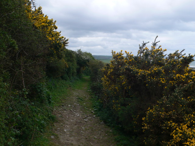 Dowling GorseForest · 1.9 mi
 St. John's WellSpring · 3.9 mi
 Graveyard in FiddownGraveyard · 4.3 mi
 Tory HillMountain / peak · 4.3 mi