What is recorded here
In level pastureland to E of the old road from Moycullen to Oughterard. First recorded by O'Flaherty in 1684 (Hardiman 1846, 55-6), and known traditionally as 'Clough-more Legaun'. Described by Wilde as a 'large limestone flag... prostrated by the storm of 1839 and ... measures 121/2 feet [3.8m] long by 7 1/2 wide [2.3m], and is 13 inches thick [0.33m]' (1872, 304-5). Broken up in 1930s. (O'Flanagan 1927a, Vol. 3, 164)
The above description is derived from the published 'Archaeological Inventory of County Galway Vol. I - West Galway'. Compiled by Paul Gosling (Dublin: Stationery Office, 1993).
Date of upload: 05 August 2010
Dated to the Late Neolithic or Early Bronze Age, the stone may have functioned as a territorial marker or ceremonial monument. Local tradition names it 'Clough-more Legaun,' though specific folklore or symbolic meaning is not recorded.
The monument record does not grant public access. Check the route and ask the landowner before entering private land.
- What survives
- Recorded monument
Places near here
 Mass-rock in BallynahalliaMass-rock · 894 yd
 Man-made underground passage in BallynahalliaMan-made underground passage · 909 yd
 Moycullen R. C. ChapelChapel · 1067 yd
 Eaglais Chaitliceach an Choincheapa gan Smál [Catholic Church of the Immaculate Conception]church/chapel · 1069 yd
 Galway Cakery CaféHeritage attraction · 1404 yd
 Connemara MarbleHeritage attraction · 1421 yd
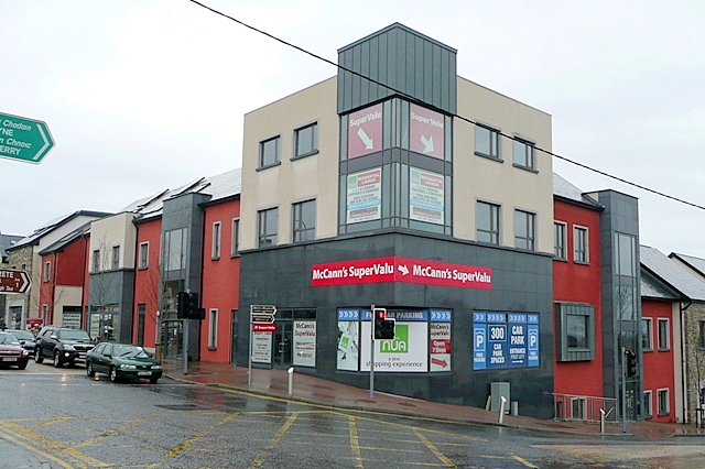 CastleCastle, unclassified · 1554 yd
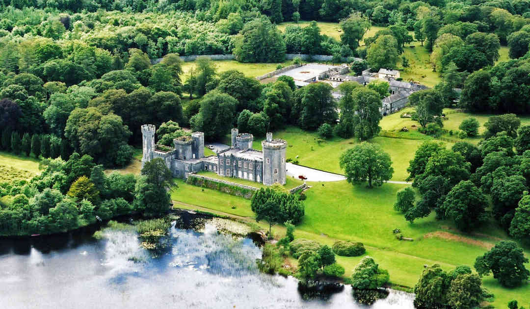 Two Sisters Castles (in ruins)Castle, tower house · 2.1 mi
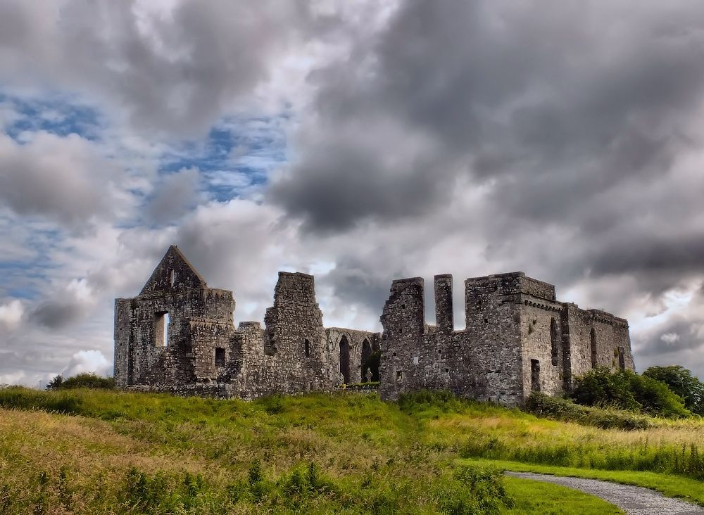 Cnoc an Bhaile NuaMountain / peak · 2.3 mi
 Annagh WoodWood · 3.2 mi
 Gurlaun IslandIslet · 3.2 mi
 IllaunnashinnaghIslet · 3.4 mi