What is recorded here
A standing stone c. 2m high × 0.95m wide; NE-SW. Situated on rough pasture land overlooking Lough Swilly.
The above description was derived from the 'Archaeological Survey of County Donegal. A description of the field antiquities of the County from the Mesolithic Period to the 17th century.' Compiled by: Brian Lacey with Eamon Cody, Claire Cotter, Judy Cuppage, Noel Dunne, Vincent Hurley, Celie O'Rahilly, Paul Walsh and Seán Ó Nualláin (Lifford: Donegal County Council, 1983). In certain instances the entries have been revised and updated.
Date of upload: 22 September 2008
No archaeological significance
NGR 23279 43719
Excavation Licence No. 05E0608
Pre-development testing was carried out on 7 June 2005 at a site in advance of its development at Liafin townland, Buncrana, Co. Donegal. The proposed development, the construction of a single-storey dwelling with septic tank, was located within the constraint area for a standing stone. The monument was 14m from the proposed access road/driveway and 50m away from the proposed dwelling.
Three trenches were excavated along the access road/driveway and through the proposed dwelling, septic tank and percolation area. The trenches measured 150m, 14.7m and 16.1m long, 1.5-1.8m wide and 0.1-0.6m deep.
Below the topsoil were orange/grey/brown plastic sandy clay, orange/brown plastic silty clay and orange/brown friable silt loam. The three types of natural subsoil were sterile. The testing exposed two land drains and crossed a backfilled test-pit. One sherd of modern pottery was recovered from the topsoil. The testing revealed nothing of archaeological significance (Excavations Bulletin 2005).
Richard Crumlish, 4 Lecka Grove, Castlebar Road, Ballinrobe, Co. Mayo.
Likely dating to the Neolithic or Bronze Age, this standing stone may have functioned as a territorial marker, ceremonial monument, or astronomical alignment feature. No specific folklore or detailed local tradition is recorded for the site.
The monument record does not grant public access. Check the route and ask the landowner before entering private land.
- What survives
- Recorded monument
Places near here
 Lisbuck FortFairy fort / ringfort · 1267 yd
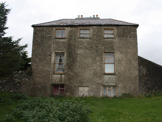 Glebe Houserectory/glebe/vicarage/curate's house · 1405 yd
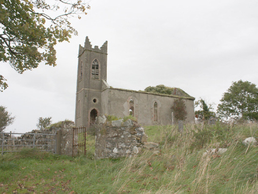 Desertegny Church of Ireland Churchchurch/chapel · 1447 yd
 Ballyannan Portal TombPortal tomb · 1634 yd
 Castle Ross (Site of)Castle, unclassified · 1.6 mi
 Stragill BeachBeach / strand · 1.7 mi
 Neds Point FortFort · 2.8 mi
 Saldána GalleryGallery · 2.9 mi
 Dunree CentreMuseum · 2.9 mi
 Dunree HeadHeadland · 3.0 mi
 Urris HillsMountain / peak · 3.2 mi
 Lady's Bay, BuncranaOfficial bathing water · 3.5 mi