What is recorded here
Leeke holds a standing stone from the uncertain prehistoric dark. No human hand shaped it, yet it still rises above the earth like a forgotten marker. It may have guided trade, marked a boundary or watched a village that no longer exists. The stone remains patient while people come and go.
The official Northern Ireland record identifies this as STANDING STONE. Recorded period: UNCERTAIN; PREHISTORIC. The official map point was placed at the centre of the recorded archaeological site from the source map reference.
Likely dating to the Neolithic or Bronze Age, this standing stone may have served a ceremonial, astronomical, or territorial function. No specific folklore or detailed meaning is recorded for this site.
The monument record does not grant public access. Check the route and ask the landowner before entering private land.
- What survives
- Recorded monument
Places near here
 ENCLOSURE (O.S. memoir site, unlocated) in BallyquinENCLOSURE (O.S. memoir site, unlocated) · 862 yd
 ENCLOSURE (O.S. memoir site, unlocated) in MulkeeraghENCLOSURE (O.S. memoir site, unlocated) · 1139 yd
 CHURCH: KIRK HILL in TemplemoyleCHURCH: KIRK HILL · 1196 yd
 Roe Valley Country ParkWood · 2.3 mi
 Green Lane MuseumMuseum · 2.4 mi
 NUNNERY, CHAPEL & CROSS-CARVED STONE in GortgarnNUNNERY, CHAPEL & CROSS-CARVED STONE · 2.6 mi
 Donald's HillMountain / peak · 3.6 mi
 BenbradaghMountain / peak · 3.8 mi
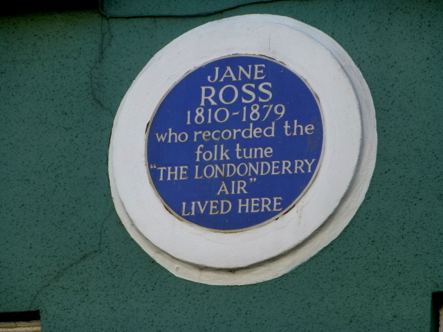 Where Jane Ross recorded Danny BoyMemorial · 4.4 mi
 DrenaghCastle · 4.5 mi
 DUNGIVEN CASTLE (PART OF WALLS) in DungivenDUNGIVEN CASTLE (PART OF WALLS) · 4.5 mi
 Legananam PotCliff · 4.8 mi