What is recorded here
Knockeenadallane once held a seven-foot stone that men broke into a one-foot stump, while two neighbours disappeared entirely. Bowman measured the wound in 1934, capturing girth and loss but never the hands that struck or the reason they struck. The field keeps their absence plain: a large thing made small, and two things made none at all.
Bowman (1934, 259) recorded standing stone on M. Nunan's land; 'This was originally over 7 ft high, part was broken off, the remaining portion is c. 1ft high by 10ft 3in girth'. Exact location not known. Two other stones (10071, 10072) on M. Nunan's land were, according to Bowman (ibid.), broken and removed.
The above description is derived from the published 'Archaeological Inventory of County Cork. Volume 4: North Cork' (Dublin: Stationery Office, 2000). In certain instances the entries have been revised and updated in the light of recent research.
Date of upload/revision: 14 January 2009
The monument record does not grant public access. Check the route and ask the landowner before entering private land.
- What survives
- Recorded monument
Places near here
 BarrowBarrow, ring-barrow · 1262 yd
 Burial ground in Doonasleen SouthBurial ground · 1.2 mi
 Doon Bridgebridge · 1.7 mi
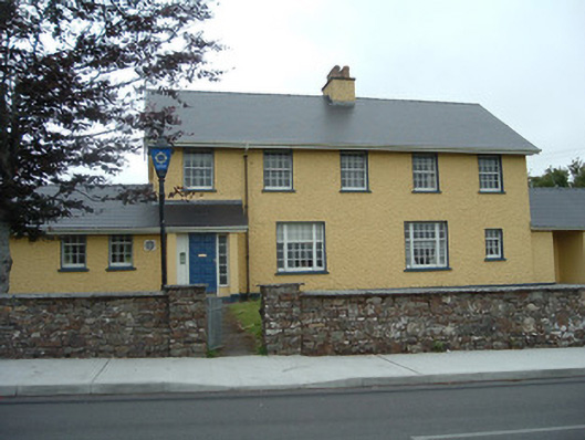 Knocknagree Garda Stationgarda station/constabulary barracks · 1.7 mi
 Nohaval WoodWood · 2.9 mi
 Dromsicane Castle (in Ruins)Bawn · 5.4 mi
 Claragh MountainMountain / peak · 6.5 mi
 Millstreet Museum & Tourist Information CentreMuseum · 6.5 mi
 Barna BogForest · 6.5 mi
 Claragh Loop (Trailhead 99)Visitor information · 6.5 mi
 Millstreet Tourist InformationVisitor information · 6.6 mi
 Caherbarnagh NW TopMountain / peak · 6.7 mi