What is recorded here
On a W-facing slope, on the NW side of a trackway. This standing stone (0.6m x 0.12m; H 1.4m) is orientated NNE-SSW. It is incorporated into and protrudes above an earthen field boundary.
The above description is derived from the published 'Archaeological Inventory of County Kerry. Volume I: South-West Kerry' (Dublin: Stationery Office, 2009). In certain instances the entries have been revised and updated in the light of recent research.
Date of upload: 30 May 2011
Likely dating to the Neolithic or Early Bronze Age, this standing stone may have marked a territorial boundary or served a ritual function. Its orientation and placement suggest a possible alignment with seasonal or ceremonial significance, though specific folklore or use remains unrecorded.
The monument record does not grant public access. Check the route and ask the landowner before entering private land.
- What survives
- Recorded monument
Places near here
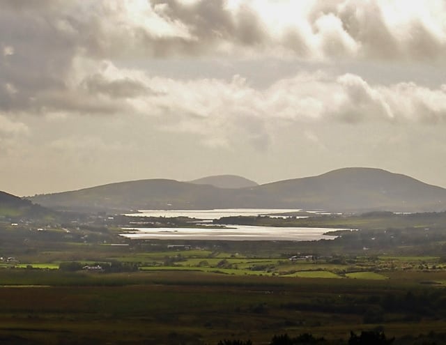 Man-made underground passage in CahernamanMan-made underground passage · 1397 yd
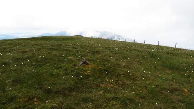 Been HillMountain / peak · 1.2 mi
 SheepfoldHut site · 1.2 mi
 Church in CaherlehillanChurch · 1.3 mi
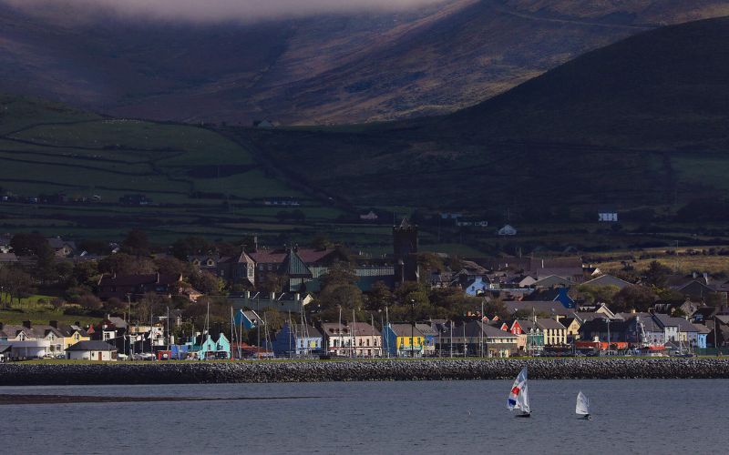 Mount FoleyMountain / peak · 1.3 mi
 Soft Tree-fernSoft Tree-fern · 1.4 mi
 Chilean wine palmChilean wine palm · 1.5 mi
 Kells BeachBeach / strand · 1.7 mi
 Gleensk Viaductbridge · 1.9 mi
 Sheep Dog TrainingHeritage attraction · 1.9 mi
 FeaklecallyHeadland · 2.7 mi
 Mountain StageViewpoint · 2.9 mi