What is recorded here
Situated on NE-facing slope of rising ground overlooking Rathconrath church (WM018-102002-) and graveyard (WM018-102004-) 150m to N. Rathconrath House formerly the Glebe House lies c. 220m to WSW. Not depicted on the 1837 ed. OS 6-inch map or the 1913 ed. OS 25-inch map.
Present remains consist of a triangular-shaped (max. Wth 1.1m; max. T 0.8m) limestone slab (max. H 1.37m) set firmly into the ground with its long axis aligned NE-SW. It has a broad base and tapers irregularly to a broad point at the top. It leans at a slight angle to E. It has been used by livestock as a rubbing post and the area around its base has been eroded. A flat sub-rectangular-shaped recumbent stone lies on the ground at the base to W. This flat recumbent slab could have been part of the standing stone which at some time was split in two or may represent rock outcrop. There are small limestone outcrops to N and S of the monument. Old cultivation ridges running E-W are visible in the field. The low earthen bank of an old field boundary running NNE-SSW can be seen immediately W of the standing stone.
Compiled by: Alison McQueen, Vera Rahilly and Caimin O’Brien
Date of upload: 08 February 2019
Likely dating to the Bronze Age, the standing stone may have served as a territorial marker or ceremonial monument. Its alignment and position overlooking a church and graveyard suggest possible later associations with local Christian sites or folklore.
The monument record does not grant public access. Check the route and ask the landowner before entering private land.
- What survives
- Recorded monument
Places near here
 Ecclesiastical enclosure in KillahughEcclesiastical enclosure · 184 yd
 Church (in Ruins)Church · 212 yd
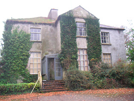 Rathconrath Houserectory/glebe/vicarage/curate's house · 252 yd
 Partially hachuredFairy fort / earthen ringfort · 297 yd
 RathconrathCastle, motte · 451 yd
 CastleCastle, unclassified · 491 yd
 Ancient Ring FortWood · 1345 yd
 Hill of UisneachMountain / peak · 3.1 mi
 European ashEuropean ash · 3.9 mi
 Carrickphilbin IslandIslet · 5.4 mi
 Abbeyshrule AbbeyRuins · 6.7 mi
 Guest ServicesVisitor information · 8.0 mi