What is recorded here
Situated at the top of a sea cliff c. 30m from the edge. This is a stone with a rectangular cross-section (dims. 0.6m x 0.3m; H 0.95m) oriented N-S.
The above description is derived from the published 'Archaeological Inventory of County Waterford' (Dublin: Stationery Office, 1999). In certain instances the entries have been revised and updated in the light of recent research.
Compiled by: Michael Moore
Date of upload/revision: 27 May 2011
Likely dating to the Neolithic or Bronze Age, this standing stone may have had ritual or territorial significance, possibly marking a boundary or serving as a landmark for seafarers or coastal communities. No specific folklore or detailed use is recorded for this site.
The monument record does not grant public access. Check the route and ask the landowner before entering private land.
- What survives
- Recorded monument
Places near here
 Site of Ancient Irish DwellingHut site · 463 yd
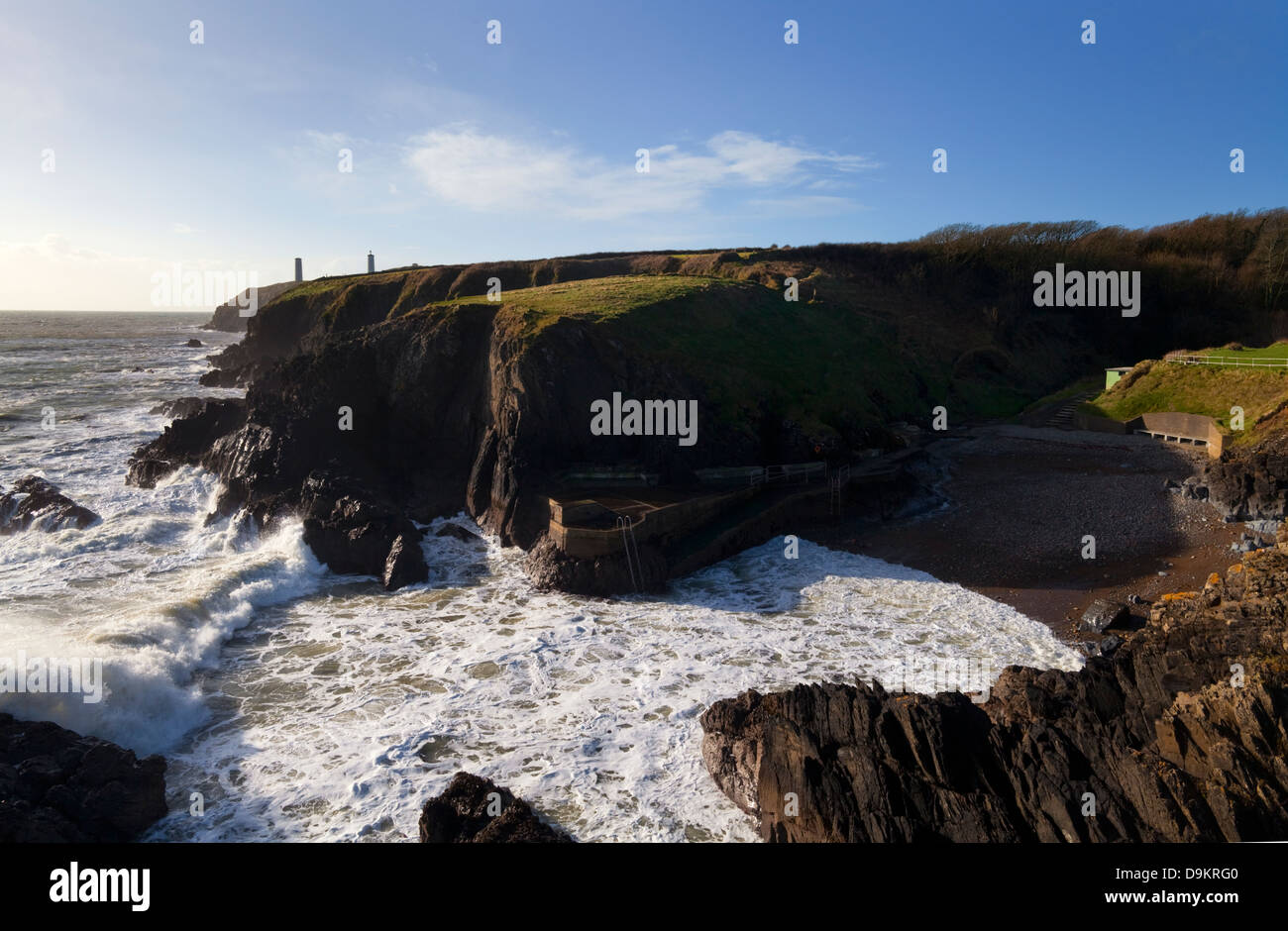 EntrenchmentPromontory fort, coastal · 509 yd
 Garrarus StrandBeach / strand · 756 yd
 Kilfarrasy BeachBeach / strand · 1287 yd
 Church in KilfarrasyChurch · 1.2 mi
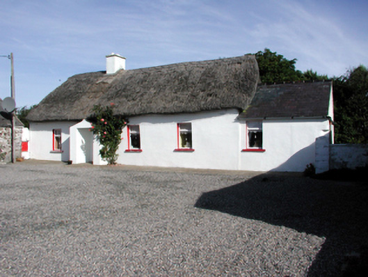 Historic buildingOfficially recorded historic building · 1.3 mi
 The Metal ManHeritage attraction · 1.8 mi
 Newtown WoodsWood · 2.0 mi
 Fenor BogNature reserve · 2.1 mi
 Ballyscanlon HillMountain / peak · 2.2 mi
 Lime KilnVisitor information · 2.4 mi
 Annestown monumentMemorial · 2.5 mi