What is recorded here
Greenville OR Garryduff holds a rectangular shale standing stone on a low natural rise, leaning eastward with ivy smothering its top. Packing stones at its base suggest deliberate placement rather than casual collapse. The stone waits patiently in gently undulating countryside, preserving a shape and orientation that human hands likely recognised before forgetting the names of those who set it.
On a low natural rise in gently undulating countryside. Rectangular shale standing stone (H 3.3m; 1.85m x 0.43m) which leans in an Easterly direction and is orientated on an ESE-WNW axis with the top of the stone covered in ivy. There is evidence of packing stones at the base of the monument. No other features visible.
The above description is derived from the published 'Archaeological Inventory of County Offaly' (Dublin: Stationery Office, 1997). In certain instances the entries have been revised and updated in the light of recent research.
Date of upload: 23 May 2011
Dated to the Late Neolithic or Early Bronze Age, this standing stone may have had ceremonial or territorial significance. Its orientation and positioning suggest a possible alignment with solar or seasonal events, though specific folklore or use remains unrecorded.
The monument record does not grant public access. Check the route and ask the landowner before entering private land.
- What survives
- Recorded monument
Places near here
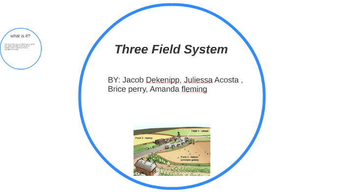 Field system in Greenville OR GarryduffField system · 250 yd
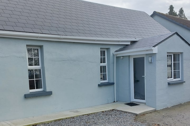 Hut site in CloghatannyHut site · 276 yd
 Roughan HillMountain / peak · 868 yd
 ToberaskeenSpring · 1143 yd
 Church (in Ruins), Grave YardChurch · 1306 yd
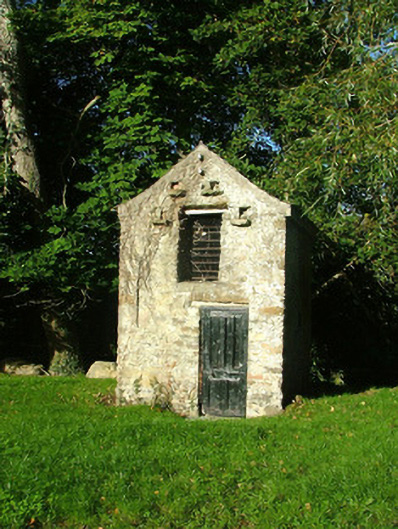 Ashmount Housedovecote/pigeon house/aviary · 1659 yd
 Gorteen CastleCastle, unclassified · 1.2 mi
 Inchaloon IslandIslet · 1.7 mi
 Chapel HillForest · 2.5 mi
 Clara Bog BoardwalkHeritage attraction · 2.8 mi
 Kilcoursey Castle (in Ruins)Bawn · 3.0 mi
 Moate HillMountain / peak · 3.4 mi