What is recorded here
No visible marker exists in Gransha Lower, though a standing stone called Gallaun is said to occupy the townland. John Curran measured six feet of height and a base wide enough for two people to stand beside before the stone narrowed near the top. The absence of a visible stone does not remove the shape from the place; it transfers the shape into memory, measurement and the risk of pointing at the wrong ground.
The precise location of a standing stone (Gallaun) within the townland of Gransha Lower has not been identified. Standing stone described by John Curran, caretaker for the OPW as follows; 'This is six feet [1.8m] high four feet six [1.4m] at the bottom and tapering to two feet four inches [0.7m]' (OPW Topographical File).
Compiled by: Caimin O'Brien
Date of upload: 22 June 2022
The monument record does not grant public access. Check the route and ask the landowner before entering private land.
- What survives
- Recorded monument
Places near here
 Ritual siteRitual site, holy tree/bush · 116 yd
 OutlinedEcclesiastical enclosure · 513 yd
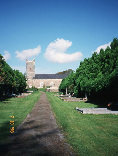 Saint Carthage's Church (Kiltallagh)church/chapel · 520 yd
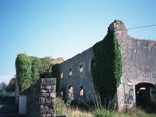 store/warehousestore/warehouse · 551 yd
 Site of Castle MaineCastle, Anglo-Norman masonry castle · 701 yd
 CastleCastle, tower house · 1.8 mi
 Ballygamboon Forest Recreation AreaWood · 2.7 mi
 KnockmoyleMountain / peak · 3.3 mi
 The Kerry Creamery ExperienceHeritage attraction · 3.9 mi
 LisnagraveArchaeological place · 3.9 mi
 Scotia's GraveArchaeological place · 4.2 mi
 Knockmichael MountainMountain / peak · 4.3 mi