What is recorded here
One stone stands in Gransha while a second vanished from human memory. The survivor rises 1.8m above level ground that slopes toward Lough Swilly, its 0.57m width and 0.43m thickness still aligned east-west like an interrupted sentence. Whatever the pair marked or warned has lost half its voice. The remaining stone continues pointing across water, waiting for someone to remember what the missing half said.
A standing stone c. 1.8m high × 0.57m wide × 0.43m maximum thickness; E-W. The 3rd edition of the OS 6-inch map notes two stones here but there is no visible trace of the second one. Situated on fairly level ground sloping gently W to Lough Swilly.
The above description was derived from the 'Archaeological Survey of County Donegal. A description of the field antiquities of the County from the Mesolithic Period to the 17th century.' Compiled by: Brian Lacey with Eamon Cody, Claire Cotter, Judy Cuppage, Noel Dunne, Vincent Hurley, Celie O'Rahilly, Paul Walsh and Seán Ó Nualláin (Lifford: Donegal County Council, 1983). In certain instances the entries have been revised and updated.
Date of upload: 22 September 2008
Likely dating to the Neolithic or Early Bronze Age, the standing stone may have had ritual or territorial significance. No specific folklore or use is recorded for this site.
This remains an important historical record, but the official description says the monument is no longer visible or has been destroyed. The monument record does not grant public access. Check the route and ask the landowner before entering private land.
- What survives
- No visible remains or recorded as destroyed
Places near here
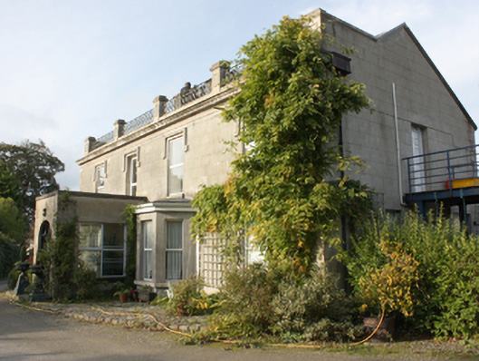 Millfield Househouse · 640 yd
 farm house, housefarm house, house · 810 yd
 Former Aghilly / Lenynarnan EnclosureEnclosure · 900 yd
 Dermot & Grania's BedArchaeological place · 1373 yd
 Lady's Bay, BuncranaOfficial bathing water · 1610 yd
 O'Doherty's KeepCastle · 1.3 mi
 Neds Point FortFort · 1.7 mi
 LisfannonOfficial bathing water · 2.4 mi
 Brown’s PointHeadland · 3.4 mi
 Lackan ForestForest · 3.6 mi
 Cashel HillMountain / peak · 3.9 mi
 Scalp MountainMountain / peak · 3.9 mi