What is recorded here
The official Northern Ireland record identifies this as STANDING STONE. Recorded period: PREHISTORIC; UNCERTAIN. The official map point was placed at the centre of the recorded archaeological site from the source map reference.
Likely dating to the Neolithic or Bronze Age, this standing stone may have been part of a ritual or ceremonial landscape. Its specific meaning or use is unclear, but such stones often held symbolic, astronomical, or territorial significance in prehistoric societies.
The monument record does not grant public access. Check the route and ask the landowner before entering private land.
- What survives
- Recorded monument
Places near here
 ENCLOSURE in GortinaginENCLOSURE · 956 yd
 A.P. SITEA.P. SITE, circular enclosure · 1688 yd
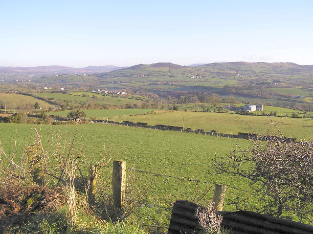 Bessy BellMountain / peak · 1.2 mi
 Ring FortFort · 1.4 mi
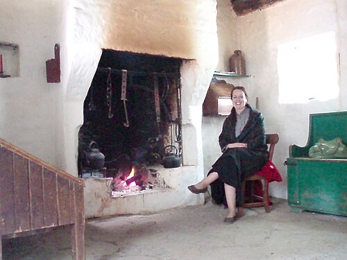 Ulster American Folk ParkMuseum · 1.8 mi
,_Tattraconnaghty_-_geograph.org.uk_-_7713424.jpg?width=1280) Mountjoy Presbyterian ChurchChurch · 2.1 mi
Mountjoy Presbyterian ChurchChurch · 2.1 mi Grange WoodWood · 2.7 mi
 Stone BridgeBridge · 2.8 mi
 Moyle IslandIsland · 2.9 mi
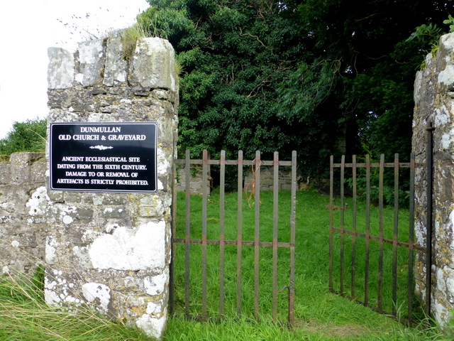 CHURCH & GRAVEYARD: CAPPAGH CHURCH or OLD CHURCH in DunmullanCHURCH & GRAVEYARD: CAPPAGH CHURCH or OLD CHURCH · 2.9 mi
 CASTLE & BAILEY: HARRY AVERY'S CASTLE in Upper OR New DeerparkCASTLE & BAILEY: HARRY AVERY'S CASTLE · 3.0 mi
 Mary GrayMountain / peak · 3.4 mi