What is recorded here
In flat pasture with earthwork (LI049-063007-) 35m to NW. Standing stone (LI049-291---) 90m to SE. Stone (H 1.35m; 0.45m x 0.3m) with tapering stop is rectangular in plan, long axis N-S. Packing-stones visible around base of stone.
Compiled by: Caimin O’Brien based on details provided by Billy O'Brien and James O'Brien
Date of upload: 5 April 2022
Probably dates to the late prehistoric or early historic period, given its form and association with earthworks. Its alignment and placement may have had ritual or territorial significance, though specific folklore or use is not recorded.
The monument record does not grant public access. Check the route and ask the landowner before entering private land.
- What survives
- Recorded monument
Places near here
 Enclosure in DuntryleagueEnclosure · 173 yd
 St Patricks WellHoly well · 312 yd
 Duntryleague - hachuredCastle, ringwork · 520 yd
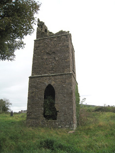 Duntryleague Church (Galbally)church/chapel · 538 yd
 Partially hachuredQuarry · 966 yd
 Darby's Bed Walk LoopWalking route · 1523 yd
 Duntryleague HillMountain / peak · 1549 yd
 Ryves CastleCastle, unclassified · 2.0 mi
 Saint Patrick's WellSpring · 2.0 mi
 SlievereaghMountain / peak · 3.1 mi
 Edmund's WellSpring · 3.2 mi
 Ballinvreena LoopVisitor information · 4.2 mi