What is recorded here
The official Northern Ireland record identifies this as STANDING STONE. Recorded period: PREHISTORIC; UNCERTAIN. Recorded protection: Scheduled. The official map point was placed at the centre of the recorded archaeological site from the source map reference.
A local standing stone or piece of rock art; wider significance not recorded.
The monument record does not grant public access. Check the route and ask the landowner before entering private land.
- What survives
- Recorded monument
Places near here
_-_geograph.org.uk_-_1421059.jpg?width=1280) Steenson's BridgeBridge · 179 yd
Steenson's BridgeBridge · 179 yd Canal BridgeBridge · 1.4 mi
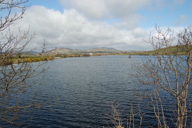 ENCLOSURE in BallyloughENCLOSURE · 2.2 mi
 War MemorialMonument · 2.3 mi
 BessbrookVisitor information · 2.5 mi
 Canal WoodWood · 2.5 mi
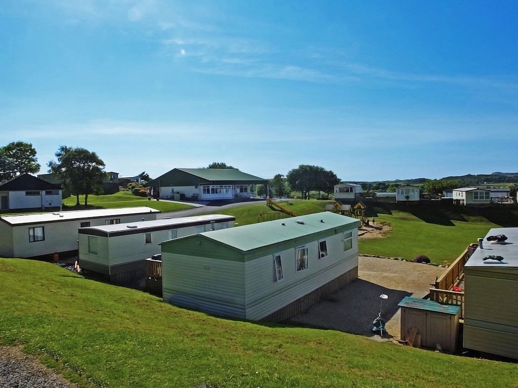 A.P. SITEA.P. SITE, circular enclosure · 2.6 mi
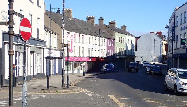 New Street Car ParkVisitor information · 2.8 mi
 Newry CenotaphMemorial · 2.9 mi
 1971 Newry killingsmassacre · 3.0 mi
 Newry and Mourne MuseumMuseum · 3.2 mi
 Bagenal's CastleCastle · 3.2 mi