What is recorded here
Two standing stones 2.15 apart are incorporated into a field wall. The SE stone is .85m high, .5m to .75m in width and 0.08m thick. The NW stone is .85m in height, .65m wide and 0.14m thick. The first stone is orientated NNW-SSE the second ESE-WNW. The stones are located on the crest of a drumlin in good pasture land.
The above description was derived from the 'Archaeological Survey of County Donegal. A description of the field antiquities of the County from the Mesolithic Period to the 17th century.' Compiled by: Brian Lacey with Eamon Cody, Claire Cotter, Judy Cuppage, Noel Dunne, Vincent Hurley, Celie O'Rahilly, Paul Walsh and Seán Ó Nualláin (Lifford: Donegal County Council, 1983). In certain instances the entries have been revised and updated.
Date of upload: 22 September 2008
Likely dating to the Neolithic or Early Bronze Age, the standing stones in Drumcoe may have functioned as boundary markers, ritual monuments, or astronomical alignments. Their placement within a field wall suggests later integration into agricultural structures, though original prehistoric meaning or folklore remains unrecorded.
The monument record does not grant public access. Check the route and ask the landowner before entering private land.
- What survives
- Recorded monument
Places near here
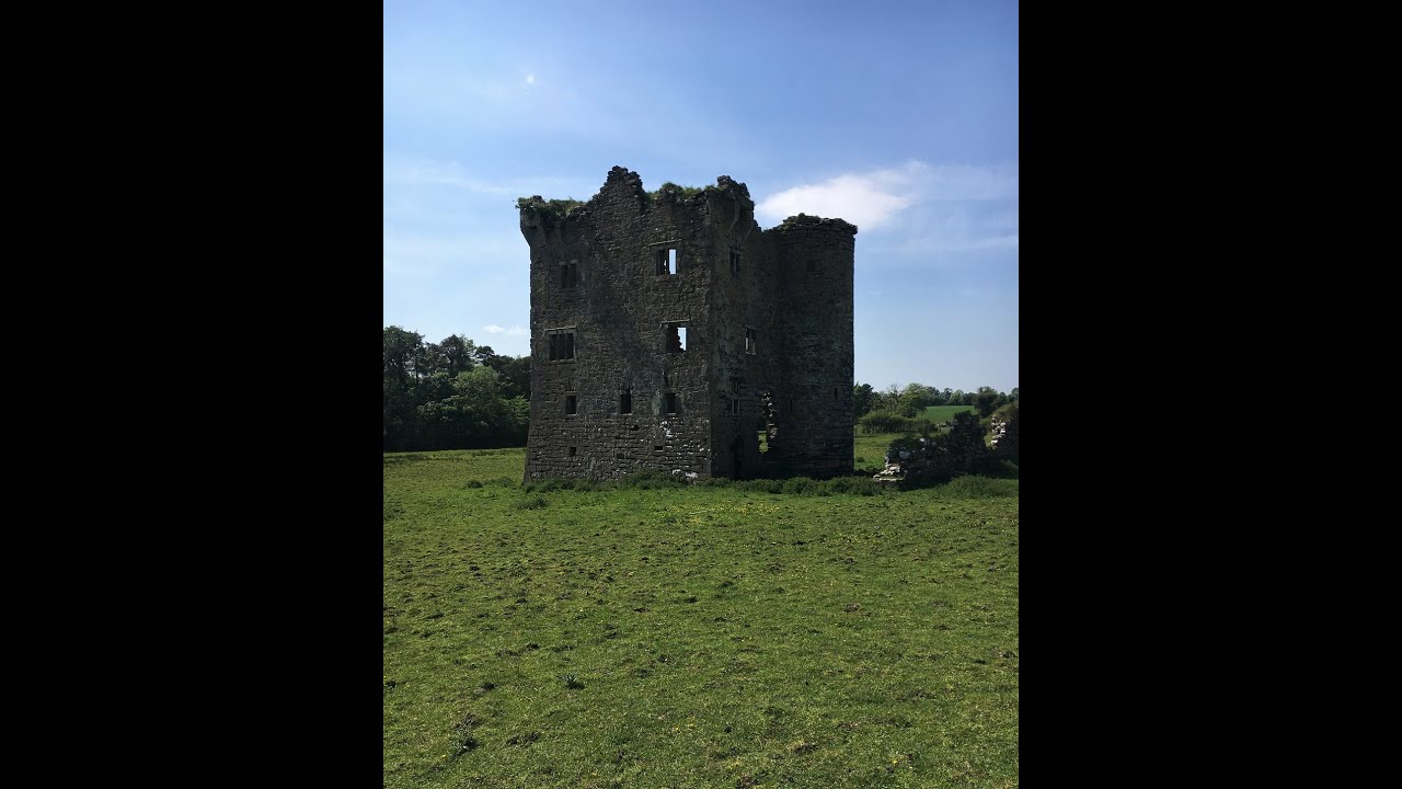 Tullyvoos Fairy FortFairy fort / earthen ringfort · 900 yd
 Drumgorman Triple-Banked Fairy FortFairy fort / earthen ringfort · 1341 yd
 Inver Methodist Churchchurch/chapel · 1.2 mi
 White HillMountain / peak · 1.5 mi
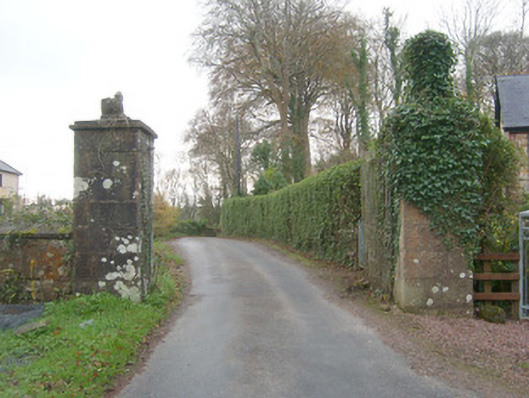 Drumbeg Housegates/railings/walls · 1.6 mi
 Salthill GardensHeritage attraction · 2.2 mi
 Drumlaghtafin HillMountain / peak · 3.6 mi
 GinkgoGinkgo · 3.9 mi
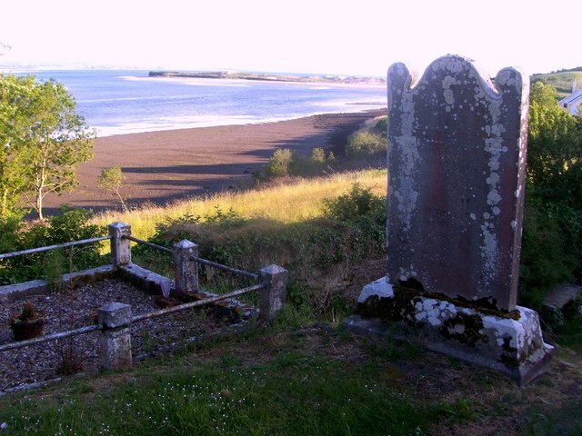 Killymard Old Church GraveyardGraveyard · 4.2 mi
 MurvaghOfficial bathing water · 4.2 mi
 Bawn in Rahan NearBawn · 4.6 mi
 Killaghtee Old Church GraveyardGraveyard · 4.6 mi