What is recorded here
Standing stone in Derry West leans heavily into the western sky at the east edge of a low rock ridge, half-swallowed by bog and overgrowth. It measures 2.4m long, 1.05m wide and .6m thick at the base, yet remains absent from official maps. The stone may have marked a boundary, a burial place or a warning about the depth of the land, because people often set stone where memory needed a shape.
Not marked on the OS maps, this standing stone is situated in a large expanse of bog at the E end of a low ridge of rock outcrop. Almost hidden by dense overgrowth, it is regular in elevation and inclines very heavily towards SW. It measures 2.4m in overall length and is 1.05m wide and .6m thick at base; NE-SW.
The above description is derived from A. O'Sullivan and J. Sheehan (compilers), 'The Iveragh peninsula: an archaeological survey of South Kerry'. Cork University Press (1996), no. 168. In certain instances the entries have been revised and updated in the light of recent research.
Date of upload: 28 July 2013
The monument record does not grant public access. Check the route and ask the landowner before entering private land.
- What survives
- Recorded monument
Places near here
 Man-made underground passage in Derry EastMan-made underground passage · 695 yd
 Man-made underground passage in Derry WestMan-made underground passage · 1000 yd
 Dereenavurrig HillMountain / peak · 1.1 mi
 An Bheann MhórMountain / peak · 1.1 mi
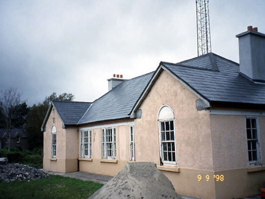 Sneem Garda Síochána Stationgarda station/constabulary barracks · 1.4 mi
 De Gaulle MemorialMonument · 1.5 mi
 Saint Michael's Catholic Churchchurch/chapel · 1.5 mi
 Sneem Commemoration PlaqueMemorial · 1.6 mi
 Coral BeachBeach / strand · 2.1 mi
 GarinishIslet · 2.2 mi
 Sherky IslandIslet · 3.1 mi
 2Cliff · 3.7 mi