What is recorded here
Derreenacrinnig East holds a thin rectangular slab where opposite cupmarks nearly pierce through the stone. That much is clear. Whether the hole was made by tools or is the edge of a door into elsewhere belongs to wonder, not fact.
On a break of a NNW-facing slope, at the foot of a ridge. This standing stone was recorded in March 1996 and described as a thin, rectangular, upright slab (1.2m x 1.32m x 0.6-0.1m) on a NNW-SSE orientation. There is a single cupmark on both sides of the slab: the cupmark on the ENE side measures 0.08-0.09m in diameter and is 0.05m deep; the cupmark on the WSW side measures 0.07m in diameter and is 0.04m deep. The cupmarks are positioned exactly opposite each other so that they almost form a hole through the slab. (SMR file)
The above description is derived from 'The Archaeological Inventory of County Cork. Volume 5' (Dublin: Stationery Office, 2009).
Date of upload: 22 December 2009
Likely dating to the Neolithic or Bronze Age, this standing stone may have served a ceremonial or territorial function. No inscriptions or carvings are noted, and local folklore or specific use remains unrecorded.
The monument record does not grant public access. Check the route and ask the landowner before entering private land.
- What survives
- Recorded monument
Places near here
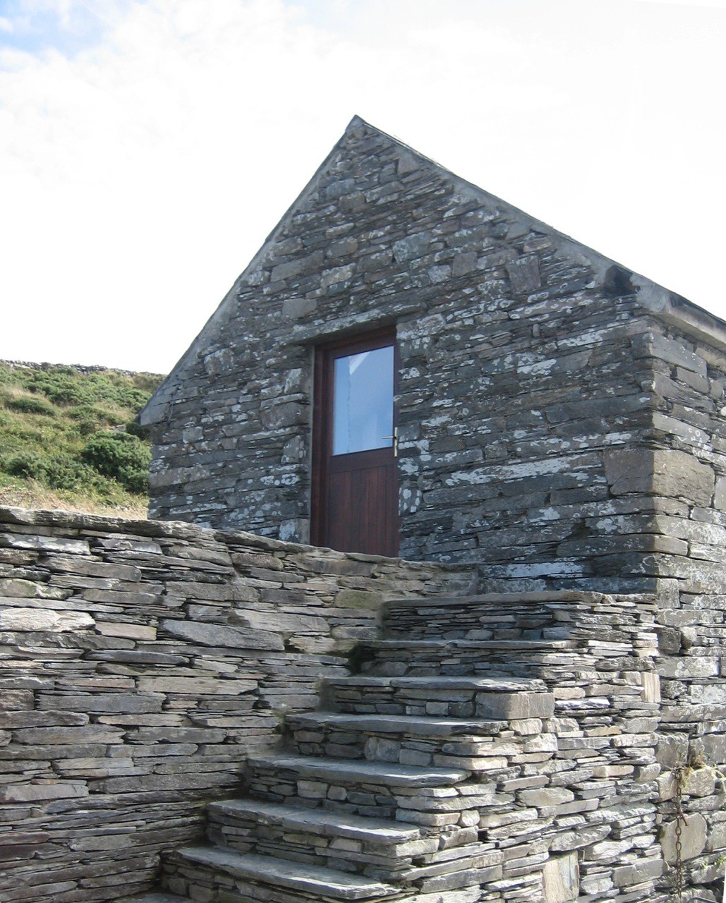 Enclosure in Derreenacrinnig EastEnclosure · 210 yd
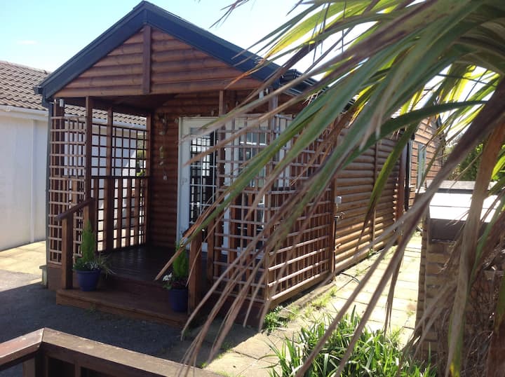 Hut site in Derreenacrinnig EastHut site · 367 yd
 Castle Donovan (in Ruins)Castle, tower house · 1579 yd
 Castle DonovanCastle · 1584 yd
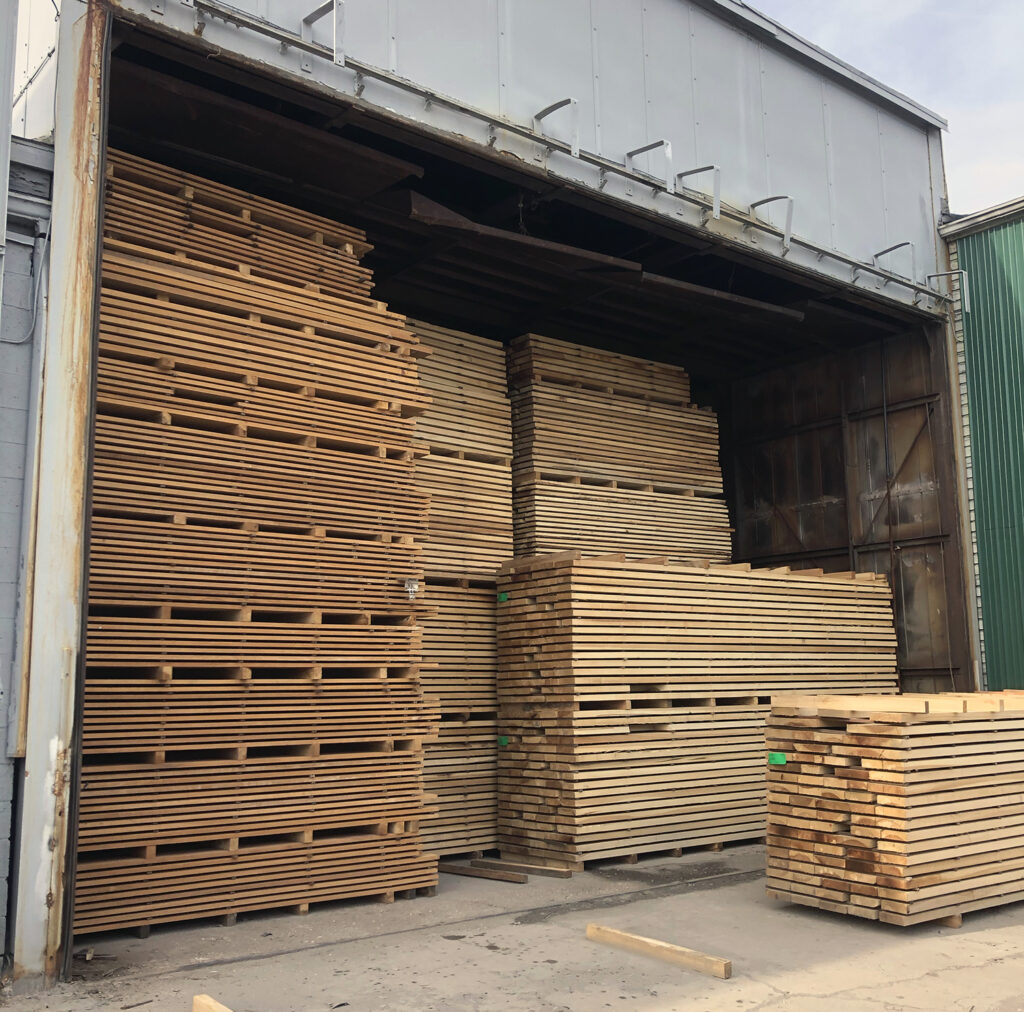 KilnKiln, corn-drying · 1608 yd
 Nowen Hill SW TopMountain / peak · 1.0 mi
 Mullach MéiseMountain / peak · 1.5 mi
 Delish Cascade WalkWalking route · 1.7 mi
 Drimoleague Heritage Loop WalkWalking route · 2.8 mi
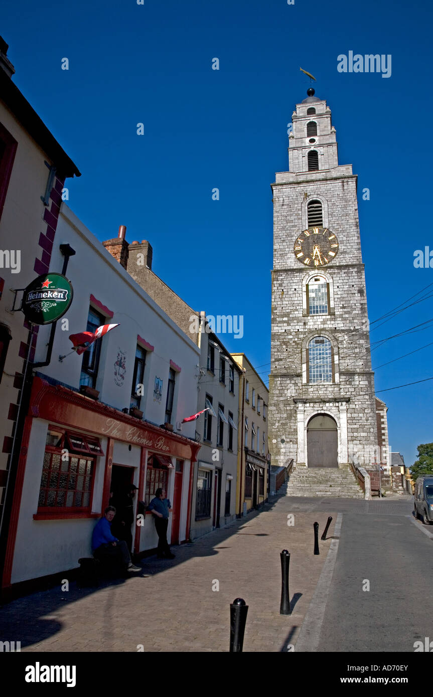 Church (in Ruins)Church · 3.0 mi
 Francis O'Neill PlaqueMemorial · 4.4 mi
 Kealkill stone circleVisitor information · 4.8 mi