What is recorded here
Craigywarren still holds a standing stone from the prehistoric dark. Whether it marked a boundary, a burial or a warning, the people who set it believed the rock would outlast every name they spoke. That confidence is not arrogance, but patience. They understood that human life is short while stone memory is long.
The official Northern Ireland record identifies this as STANDING STONE. Recorded period: PREHISTORIC; UNCERTAIN. Recorded protection: Scheduled. The official map point was placed at the centre of the recorded archaeological site from the source map reference.
Likely dating to the Neolithic or Bronze Age, this standing stone may have served a ceremonial, astronomical, or territorial function. No specific folklore or detailed use is recorded for this site.
The monument record does not grant public access. Check the route and ask the landowner before entering private land.
- What survives
- Recorded monument
Places near here
 ENCLOSURE in CraigywarrenENCLOSURE · 283 yd
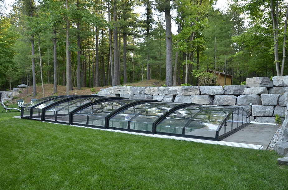 A.P. SITEA.P. SITE, circular enclosure within rectangular enclosure · 1314 yd
 MOUNDMOUND, CASHEL?: MCQUILLAN'S CASTLE · 1.6 mi
 The Thatch InnPublic House · 2.0 mi
 Methodist ChurchChurch · 3.0 mi
 2025 Northern Ireland riotsriot · 3.2 mi
 CASTLE & HILLTOP ENCLOSURE: DOONBOUGHT FORT in DoonboughtCASTLE & HILLTOP ENCLOSURE: DOONBOUGHT FORT · 3.3 mi
 CarncormickMountain / peak · 4.9 mi
 SlemishMountain / peak · 6.3 mi
 TullyMountain / peak · 7.7 mi
 Top WoodWood · 8.6 mi
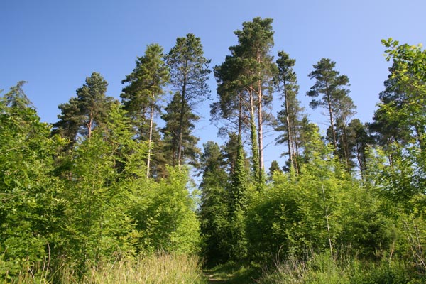 Bracknamuckley ForestWood · 9.5 mi