What is recorded here
Located on the southern side of an E-W orientated drumlin, situated just off the crest. Obscured by a lone thorn bush’ (Forest Service letter 14/08/2006). Ringfort (WM017-052----) 15m to N, hut site (WM017-113----) c. 70m to SE.
Compiled by: Alison McQueen, Vera Rahilly and Caimin O’Brien
Date of upload: 10 January 2019
Probably dates to the Bronze Age, given its association with other early settlement features. May have had a ritual or territorial function, though specific folklore or symbolic meaning is not recorded.
The monument record does not grant public access. Check the route and ask the landowner before entering private land.
- What survives
- Recorded monument
Places near here
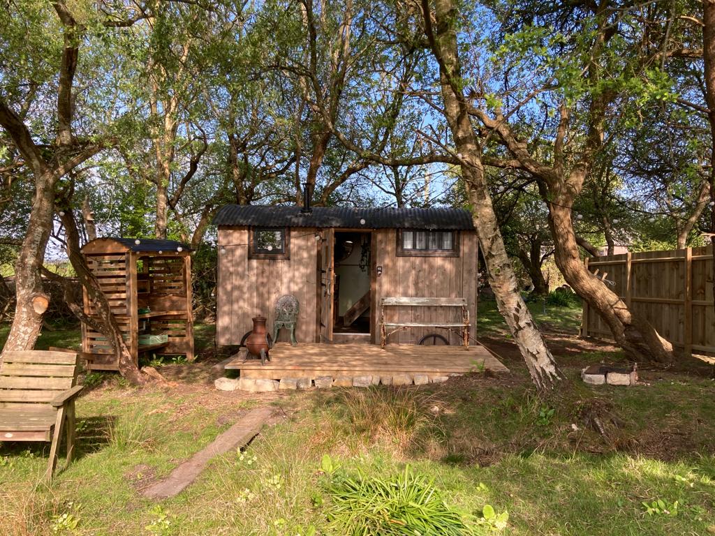 Hut site in CorkanHut site · 24 yd
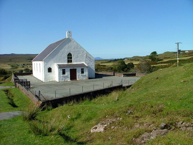 Site of ChurchChurch · 349 yd
 Saint Mary's Catholic Churchchurch/chapel · 783 yd
 Milltown Castle in ruinsCastle, unclassified · 1161 yd
 Rathcastle Househouse · 1444 yd
 Ancient Ring FortWood · 1.1 mi
 RathconrathCastle, motte · 1.7 mi
 Sessile OakSessile Oak · 4.0 mi
 Abbeyshrule AbbeyRuins · 4.9 mi
 Craft WorkshopHeritage attraction · 6.2 mi
 Guest ServicesVisitor information · 6.3 mi
 Goldsmith Birthplace, PallasVisitor information · 6.4 mi