What is recorded here
No visible trace survives of the 'Gallaun' marked on the 1st edition of the OS map. It stood beside the junction of the boundaries of Glanfahan and Coumeenoole North and South, in open mountain terrain.
The above description is derived from J. Cuppage, ‘Corca Dhuibhne. Dingle Peninsula archaeological survey. Ballyferriter. Oidhreacht Chorca Dhuibhne’ (1986), no. 147. In certain instances the entries have been revised and updated in the light of recent research.
Date of upload: 4 August 2013
This remains an important historical record, but the official description says the monument is no longer visible or has been destroyed. The monument record does not grant public access. Check the route and ask the landowner before entering private land.
- What survives
- No visible remains or recorded as destroyed
Places near here
 Sliabh an IolairMountain / peak · 512 yd
 Hut site in Gleann FánHut site · 760 yd
 Binn an ChomaMountain / peak · 834 yd
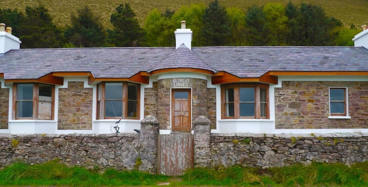 Hut site in Com Dhíneol TheasHut site · 846 yd
 Clochán MórHeritage attraction · 1750 yd
 Church in Baile An GhleannaChurch · 1.0 mi
 Faill BearnaiscCliff · 1.0 mi
 Hold a Baby LambHeritage attraction · 1.1 mi
 Traigh an ChomaBeach / strand · 1.2 mi
 Dún BinneHeadland · 1.2 mi
 Church in Gleann LoicChurch · 1.3 mi
 Dunmore HeadViewpoint · 1.8 mi