What is recorded here
Located on a NW-facing slope in rough heather- and sedge-covered upland terrain, overlooked at NE by Contycro hill, with a small lake/bog pool 20m to W and a larger lake 200m to E.
This standing stone is not indicated on any edition of the OS 6-inch maps. Upright, flat-topped, roughly rectangular-shaped slab (H 0.61m; L 0.52m; max T 0.09m) with long axis aligned NW-SE. It is roughly triangular in cross-section. There is a narrow slab laid on edge along the base of the stone on the SW side; probably a support. The standing stone is no longer earth-fast.
Attached images:
DG090-016----_01
DG090-016----_02
DG090-016----_03
DG090-016----_04
Compiled by: Jane O’Shaughnessy
Date of upload: 31 January 2022
The monument record does not grant public access. Check the route and ask the landowner before entering private land.
- What survives
- Recorded monument
Places near here
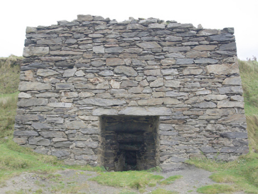 kilnkiln · 869 yd
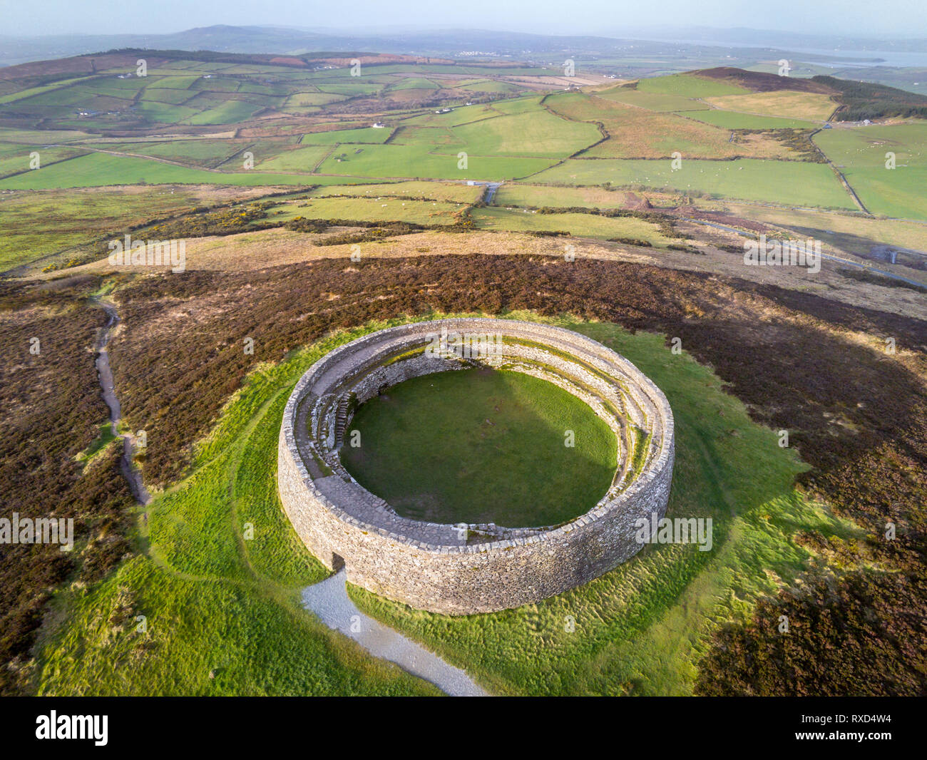 Cointe Cró Ploughed-Out Earthen RingfortFairy fort / earthen ringfort · 1.0 mi
 Church in LeathchoillChurch · 1.1 mi
 AN CAISEAL Ring-cairnArchaeological place · 1.1 mi
 Glencolmcille Old GraveyardGraveyard · 1.4 mi
 Trá an GhleannaBeach / strand · 1.9 mi
 Glencolmcille Folk VillageMuseum · 1.9 mi
 An Trá Bheag (Trá Bheag an Ghleanna)Beach / strand · 2.1 mi
 CroaghstraleelMountain / peak · 2.9 mi
 Slieve LeagueMountain / peak · 3.1 mi
 Slieve League SE TopMountain / peak · 3.3 mi
 Silver Strand ViewpointViewpoint · 3.9 mi