What is recorded here
Cloichearaí holds a triangular standing stone beside the Ballyrishteen boundary, pointing north across poorly drained mountain ground. Ina Doyle identified the stone, yet no historic map ever drew it, suggesting human memory preserved what official records forgot. The shape may have marked a boundary, guided travellers, or watched the valley below.
Triangular-shaped standing stone immediately to N of townland boundary with BAILE RISTÍN (Ballyrishteen), on poorly drained mountainous region with commanding views to N. Standing stone identified by Ina Doyle, not depicted on any edition of the OSi historic maps.
Compiled by: Caimin O'Brien based on details provided by Ina Doyle.
Likely dating to the Bronze Age, the stone may have functioned as a territorial marker or ceremonial site. No specific folklore is recorded, though its position suggests a strategic or symbolic role in the landscape.
The monument record does not grant public access. Check the route and ask the landowner before entering private land.
- What survives
- Recorded monument
Places near here
 An ChonairViewpoint · 212 yd
 An Cnoc Maol MórMountain / peak · 861 yd
 Maughanablagher CliffsCliff · 890 yd
 An Bhinn DubhMountain / peak · 984 yd
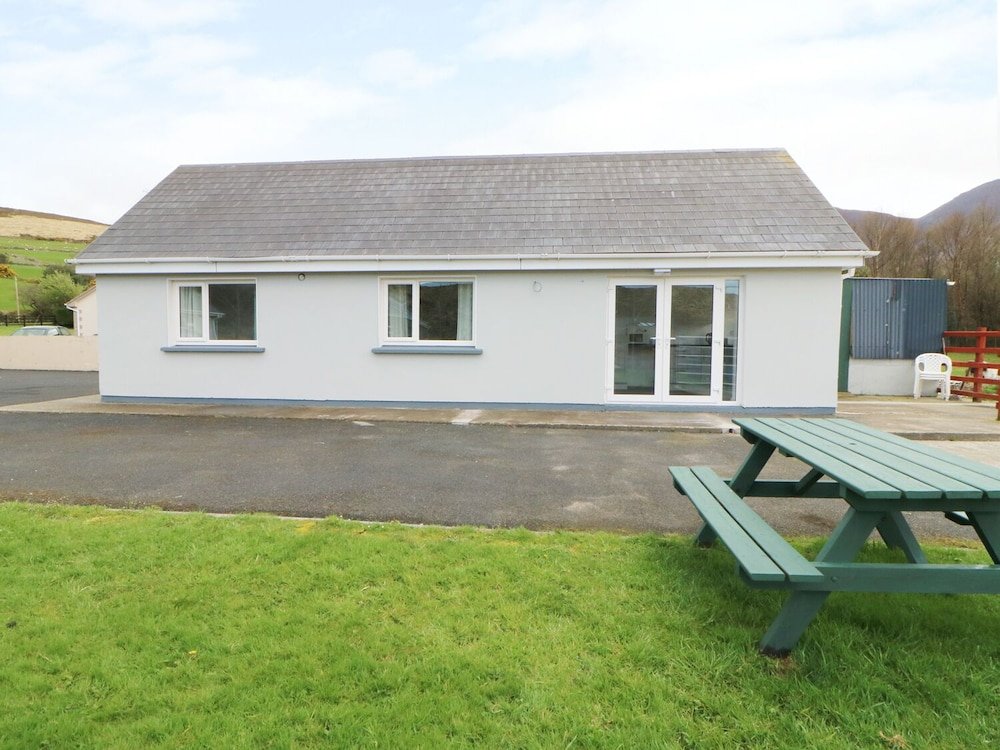 Hut site in Coimín Uí ChorráinHut site · 1392 yd
 Cloghauns in Gothic ScriptMan-made underground passage · 1677 yd
 Church in Lios DeargáinChurch · 1.5 mi
 CarrignawaddraNamed rock · 1.5 mi
 Mass-house in An Fearann (tc An Daingean),gort OnóraMass-house · 2.6 mi
 Tower (in ruins)Castle, unclassified · 3.5 mi
 World War II plane crash site: Engine of Focke-Wulf Fw 200 CondorHeritage attraction · 3.8 mi
 Castle (Site of)Castle, tower house · 3.8 mi