What is recorded here
In a rough pasture field, on a NE-facing slope overlooking Ballydonegan Bay. A standing stone (1.1m x 0.4m; H 1.5m) orientated NE-SW was recorded at this location in May 1992. The standing stone, a field boundary and some surface stones have since been removed. There are no visible remains of the standing stone at this location.
The above description is derived from 'The Archaeological Inventory of County Cork. Volume 5' (Dublin: Stationery Office, 2009).
Date of upload: 22 December 2009
Likely dating to the Neolithic or Bronze Age, this standing stone may have functioned as a territorial marker or ceremonial feature, possibly linked to early farming communities in the region. No specific folklore or detailed use is recorded for this site.
This remains an important historical record, but the official description says the monument is no longer visible or has been destroyed. The monument record does not grant public access. Check the route and ask the landowner before entering private land.
- What survives
- No visible remains or recorded as destroyed
Places near here
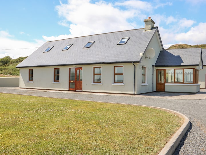 Dooneen PointPromontory fort, coastal · 286 yd
 Holy well in CloghfuneHoly well · 1288 yd
 LackacroghanMountain / peak · 1670 yd
 Penitential station in BallydoneganPenitential station · 1.2 mi
 Black RocksIslet · 1.2 mi
 Serough IslandIslet · 1.4 mi
 Ballydonegan StrandBeach / strand · 1.4 mi
 Old Mine ShaftRuins · 2.0 mi
 Garnish StrandBeach / strand · 2.0 mi
 Garinish IslandIslet · 2.0 mi
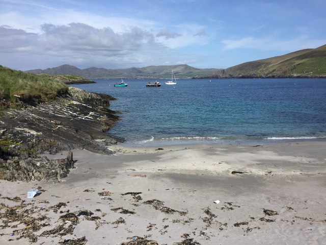 White StrandBeach / strand · 2.1 mi
 DooneenViewpoint · 2.3 mi