What is recorded here
No visible stone remains in Clochán Na Nuagh today, though a half-meter square marker once stood on Michael Cronin's land. It may have marked a boundary, a burial or a meeting place, but the earth has taken back that much. What is left is a absent shape, a stone remembered only through the hole it made in the landscape.
In the 1940s, a 'gallan, 21/2ft [0.76m] square by 1ft [0.3m]' was recorded on Michael Cronin's land, two fields NW of a possible standing stone pair (KE097-047---) (ITA). This stone has not been precisely located. Another possible standing stone pair (KE097-047002-) in the same field also remains unlocated.
The above description is derived from the published 'Archaeological Inventory of County Kerry. Volume I: South-West Kerry' (Dublin: Stationery Office, 2009). In certain instances the entries have been revised and updated in the light of recent research.
Date of upload: 30 May 2011
The monument record does not grant public access. Check the route and ask the landowner before entering private land.
- What survives
- Recorded monument
Places near here
 Cloch Oghaim/Ogham Stone.Archaeological place · 1474 yd
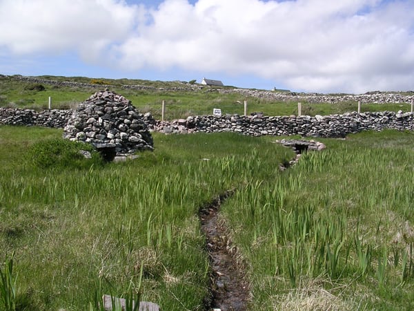 St. Michaels WellHoly well · 1622 yd
 Trá an GhleanntáinBeach / strand · 1.1 mi
 Reglaish Church (in Ruins)Church · 1.1 mi
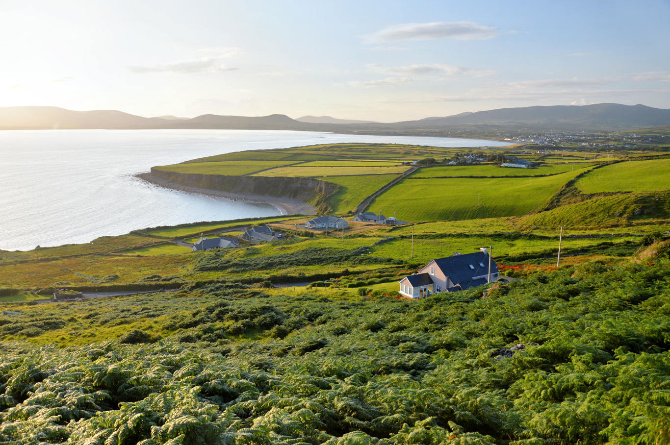 Trá Bhaile an SceilgeBeach / strand · 1.4 mi
 Ballinskelligs Castle (in Ruins)Castle, tower house · 1.4 mi
 KillurlyMountain / peak · 1.7 mi
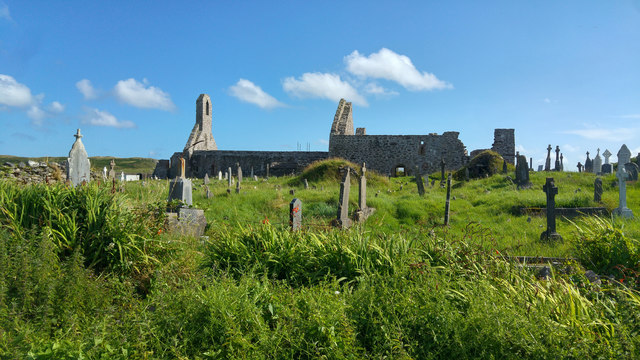 Ballinskelligs PrioryVisitor information · 1.7 mi
 Ballinskelligs Abbey (in ruins)Religious house, Augustinian canons · 1.8 mi
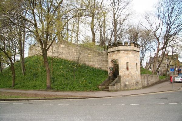 Castle (in Ruins)Castle, tower house · 1.8 mi
 Coastguard Station RuinsRuins · 2.1 mi
 Oileán na gCapallIslet · 2.2 mi