What is recorded here
Mortared into a roadside wall four metres from St. Faned's Well, a one-metre-tall stone still leans over the western edge of Glencolumbkille valley. It may have marked the well, the pasture or the boundary between human claim and mountain air. The wall builders treated it as ordinary rock, yet they stopped short of breaking it or moving it. In that small mercy, the stone kept its old job: standing witness while the valley raged, rained or forgot itself below.
A standing stone 1.17m high × 0.75m wide at base × 0.22m thick. It is incorporated in a roadside wall 4.2m S of St. Faned's Well (DG080-023). Situated in fair pasture land, on a ledge on the S side of the Glencolumbkille valley overlooking the W end of the valley.
The above description was derived from the 'Archaeological Survey of County Donegal. A description of the field antiquities of the County from the Mesolithic Period to the 17th century.' Compiled by: Brian Lacey with Eamon Cody, Claire Cotter, Judy Cuppage, Noel Dunne, Vincent Hurley, Celie O'Rahilly, Paul Walsh and Seán Ó Nualláin (Lifford: Donegal County Council, 1983). In certain instances the entries have been revised and updated.
Date of upload: 22 September 2008
Likely dating to the Bronze Age, the stone may have had a ritual or commemorative function, possibly linked to the nearby holy well associated with St. Faned. Such stones often marked sacred or territorial boundaries in prehistoric times.
The monument record does not grant public access. Check the route and ask the landowner before entering private land.
- What survives
- Recorded monument
Places near here
 St. Faneds CellHermitage · 24 yd
 IndicatedHoly well · 93 yd
 Glencolmcille Folk VillageMuseum · 493 yd
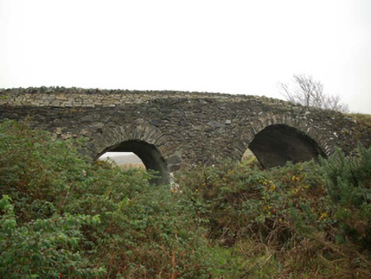 Droichead an tSráidbridge · 501 yd
 Trá an GhleannaBeach / strand · 517 yd
 Teach Pobail Naomh Columbachurch/chapel · 536 yd
 An Trá Bheag (Trá Bheag an Ghleanna)Beach / strand · 775 yd
 Glencolmcille Old GraveyardGraveyard · 924 yd
 Rossan PointHeadland · 2.5 mi
 Silver Strand ViewpointViewpoint · 3.4 mi
 Slieve LeagueMountain / peak · 3.9 mi
 Slieve League SE TopMountain / peak · 4.3 mi