What is recorded here
On a gentle N-NW-facing slope in undulating terrain, under pasture. There are good views to the N but poor uphill to the E and S and limited to the W. Monument identified during ASI fieldwork. Grey sandstone conglomerate with quartz pebble inclusions (0.72m x 0.4m; H 1.74m) roughly rectangular in plan and tapering towards the top. It is orientated N-S, with broad faces to the E and W. The top of the stone slopes, rising to the N. There are packing stones around the base.
Compiled by: Jean Farrelly
Date of upload: 26 August 2011
Probably dates to the Neolithic or Early Bronze Age, given the material and context typical of megalithic traditions in Ireland. Its alignment and location may have had ritual or territorial significance, though specific folklore or use remains unrecorded.
The monument record does not grant public access. Check the route and ask the landowner before entering private land.
- What survives
- Recorded monument
Places near here
 Carrigaloe RockNamed rock · 526 yd
 Enclosure in MayladstownEnclosure · 605 yd
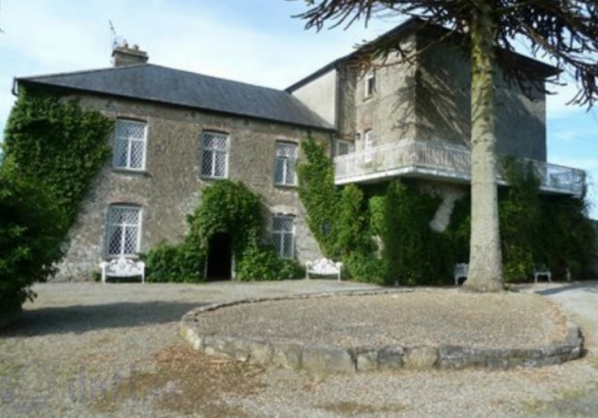 Enclosure in KnockrathkellyEnclosure · 713 yd
 Kilcash WoodForest · 1125 yd
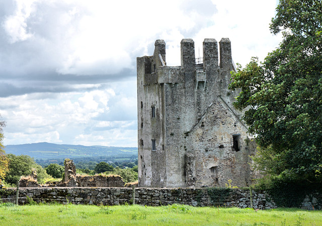 Bawn in KilcashBawn · 1715 yd
 Kilcash Castle (in ruins)Castle, tower house · 1729 yd
 Kilcash Church (in ruins)Church · 1.0 mi
 Saint John's Catholic Churchchurch/chapel · 1.2 mi
 Wild CherryWild Cherry · 1.6 mi
 SlievenamonMountain / peak · 2.3 mi
 SheegounaMountain / peak · 2.3 mi
 Thomas KielyMemorial · 3.1 mi