What is recorded here
Carricknagavna in County Armagh holds a standing stone from the prehistoric era. The rock still rises beside the old land, waiting for human feet to touch its surface and finish the circuit between then and now.
The official Northern Ireland record identifies this as Standing Stone. Recorded period: PREHISTORIC. The official map point was placed at the centre of the recorded archaeological site from the source map reference.
Standing Stone in Carricknagavna is likely from the Neolithic or Bronze Age, based on the typical dating of standing stones in Ireland. Such stones may have been used for ritual, ceremonial, or territorial purposes, though specific meaning or folklore associated with this site is not recorded.
The monument record does not grant public access. Check the route and ask the landowner before entering private land.
- What survives
- Recorded monument
Places near here
 SlievenacappelMountain / peak · 346 yd
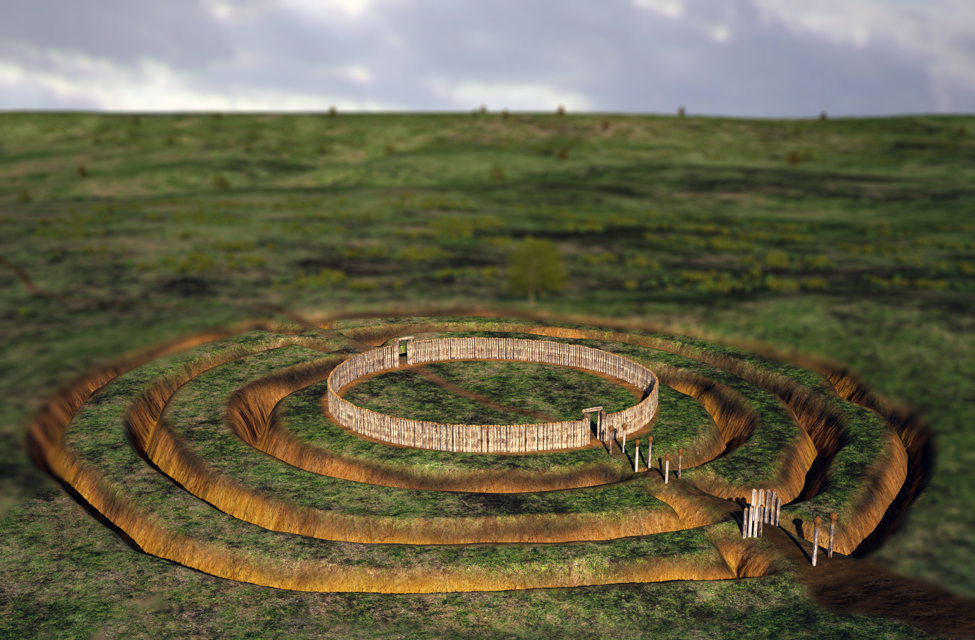 A.P. SITEA.P. SITE, circular enclosure · 1162 yd
 ENCLOSURE in CarricknagavnaENCLOSURE · 1351 yd
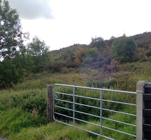 Aughanduff Lower MountainMountain / peak · 1383 yd
 Ummeracam BridgeBridge · 2.3 mi
 Ring of GullionRing of hills and protected landscape · 2.8 mi
 Slieve GullionMountain / peak · 3.0 mi
 St Moninna's WellSpring · 3.4 mi
 Operation Conservationmilitary operation · 3.5 mi
 Irish Hunger StrikersMemorial · 3.5 mi
 EARLY CHRISTIAN & MEDIEVAL CHURCHES, GRAVEYARD, AUGUSTINIAN NUNNERY & ROUND TOWER: KILLEVY CHURCHES in BallintempleEARLY CHRISTIAN & MEDIEVAL CHURCHES, GRAVEYARD, AUGUSTINIAN NUNNERY & ROUND TOWER: KILLEVY CHURCHES · 3.7 mi
 Killevy Churches AONB SignVisitor information · 3.7 mi