What is recorded here
Situated on S-facing slope of a rise, in pasture, with good views to S, SE and SW. The stone is neither depicted nor named on the 1837 OS 6-inch map or on the revised 1913 ed. OS 25-inch map. Monument described in 1978 as an upright limestone (approx. H 1.3m; basal Wth 0.45m; basal T 0.3m) which tapers to a narrow rounded top (T 0.1m). The uppermost portion appears to have been broken off (SMR file). The area around the stone has been trampled by livestock resulting in the ground being c. 0.3m lower, making the stone originally c. 1m in height.
Compiled by Alison McQueen, Vera Rahilly and Caimin O’Brien.
Date of upload: 31 July 2019
Likely dating to the Neolithic or Bronze Age, the standing stone may have functioned as a territorial marker, ceremonial focus, or astronomical alignment feature. No specific folklore or detailed use is recorded for this site.
The monument record does not grant public access. Check the route and ask the landowner before entering private land.
- What survives
- Recorded monument
Places near here
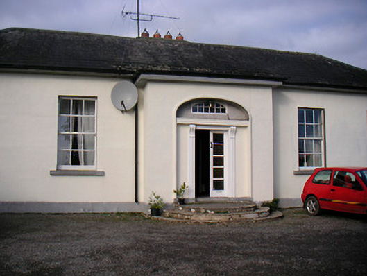 Lurgan Housecountry house · 596 yd
 Washford Bridgebridge · 671 yd
 Cross in BallymorinCross · 735 yd
 CastleCastle, tower house · 794 yd
 Enclosure in LockardstownEnclosure · 1011 yd
 Hachured, 420 ODCastle, motte · 1447 yd
 Hill of UisneachMountain / peak · 1.4 mi
 European ashEuropean ash · 1.5 mi
 Ancient Ring FortWood · 2.8 mi
 KnockastiaMountain / peak · 5.0 mi
 Abbeyshrule AbbeyRuins · 5.9 mi
 Guest ServicesVisitor information · 6.2 mi