What is recorded here
The stone is set in a slight hollow in low-lying grassland, where the ground slopes westwards to a wet marshy area located c. 10m away. The flat faces of the stone are orientated northwest-southeast and it measures 1.2m - 1.3m high, 0.7m - 0.9m wide and 0.35m - 0.4m deep. It is agilicous (possibly sandstone or limestone) quite weathered and covered in moss and lichen.
Compiled by: Melanie McQuade, Archaeologist, Forestry Service
Date of upload: 1 May 2015
Probably dating to the Neolithic or Bronze Age, this standing stone may have had ritual or territorial significance, possibly linked to water or landscape features. Its orientation and location suggest it could have been used in ceremonial practices or as a marker within a wider prehistoric landscape.
The monument record does not grant public access. Check the route and ask the landowner before entering private land.
- What survives
- Recorded monument
Places near here
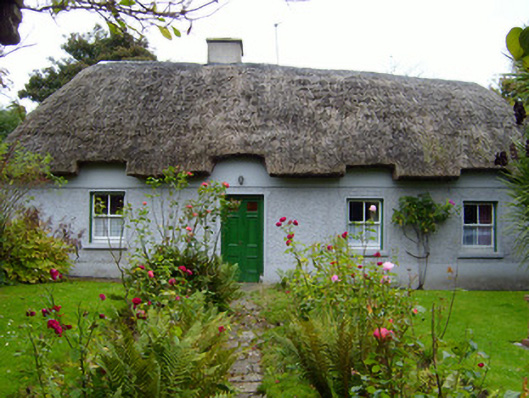 Martin's Cottagehouse · 619 yd
 Rathaboira, hachuredMound · 827 yd
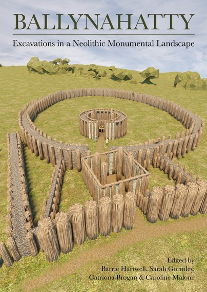 Earthwork in Ballinanima (darcy)Earthwork · 830 yd
 Quarry in KilfinnaneQuarry · 864 yd
 Ballyhoura tourist informationVisitor information · 1190 yd
 Castle (in ruins)Castle, tower house · 1198 yd
 Treada Na Ríogh (The Moat), hachuredCastle, motte · 1453 yd
 Palatine's RockNamed rock · 1.7 mi
 Ballyhoura WayWalking route · 2.0 mi
 Ballinvreena LoopVisitor information · 2.5 mi
 Gooseberry HillMountain / peak · 2.7 mi
 Keale MountainMountain / peak · 2.7 mi