What is recorded here
Marianne dropped her coffee cup and ran outside. The kitchen window faced a narrow lane, but the lane had vanished. A tall stone stood in the grass, its edge bright under the moon. She touched the rough surface and felt heat climb her arm. The kitchen reappeared, shaking like a struck bell. Marianne caught the flying cup, but the coffee poured across the floor. Outside, the lane had returned, and the stone was gone.
The official Northern Ireland record identifies this as STANDING STONE. Recorded period: PREHISTORIC; UNCERTAIN. Recorded protection: Scheduled. The official map point was placed at the centre of the recorded archaeological site from the source map reference.
Likely dating to the Neolithic or Bronze Age, this standing stone may have functioned as a ceremonial or territorial marker. Its specific meaning or use remains unclear, though such stones are often associated with ritual activity or astronomical alignments in prehistoric traditions.
The monument record does not grant public access. Check the route and ask the landowner before entering private land.
- What survives
- Recorded monument
Places near here
 DivisMountain / peak · 932 yd
 A.P. SITEA.P. SITE, circular enclosure · 1169 yd
 Black MountainMountain / peak · 1580 yd
 SQUARE ENCLOSURE & FIELD BANKS in BallymagarrySQUARE ENCLOSURE & FIELD BANKS · 1645 yd
 Ballysillan Presbyterian ChurchChurch · 1.4 mi
 1971 Scottish soldiers' killingsmurder · 1.4 mi
 Battle at Springmartinbattle · 1.8 mi
 Possible bawn site in OldparkPossible bawn site · 1.8 mi
 Holy Cross ChurchChurch · 1.9 mi
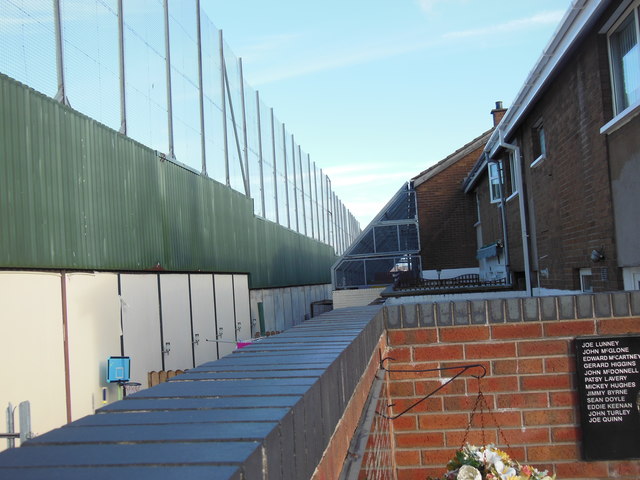 Clonard Martyrs MemorialMemorial · 2.3 mi
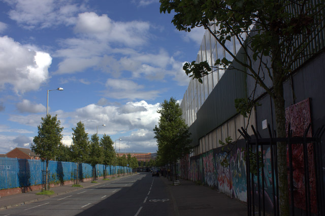 Peace WallHeritage attraction · 2.4 mi
 The Crown BarVisitor information · 3.4 mi