What is recorded here
Meltwater may have scoured the rock before people learned to shape it, yet Ballycleagh still keeps the stone standing while younger buildings forgot their own names. Pressure from living soil and patient water may have tilted the stone, not violence or greed. A person may have touched the edge, marked it or simply watched it remain visible when every other sharp angle became smooth. That is why the stone still stands inside the field: not because it defied death, but because the living world kept adjusting around it.
The official Northern Ireland record identifies this as STANDING STONE. Recorded period: UNCERTAIN; PREHISTORIC. Recorded protection: Scheduled. The official map point was placed at the centre of the recorded archaeological site from the source map reference.
Likely dating to the Neolithic or Bronze Age, this standing stone may have served a ritual, ceremonial, or territorial function. No specific folklore or detailed use is recorded for this site.
The monument record does not grant public access. Check the route and ask the landowner before entering private land.
- What survives
- Recorded monument
Places near here
 Carra CastleCastle · 175 yd
 Cushendun Parish ChurchHall · 608 yd
 Glendun HotelHotel · 924 yd
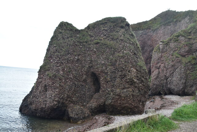 Caves of CushendunHeritage attraction · 1078 yd
 A.P. SITEA.P. SITE, ENCLOSURE · 1404 yd
 STONE ENCLOSURE in CorrymellaghSTONE ENCLOSURE · 1703 yd
 HOUSE: OLD CASTLE in LaydHOUSE: OLD CASTLE · 2.5 mi
 The Glens of AntrimViewpoint · 3.6 mi
 CarnanmoreMountain / peak · 3.8 mi
 Ballypatrick Forest Trails - 1 Cairn TrailWalking route · 4.1 mi
 Ballypatrick ForestForest · 4.4 mi
 Torr HeadViewpoint · 4.5 mi