What is recorded here
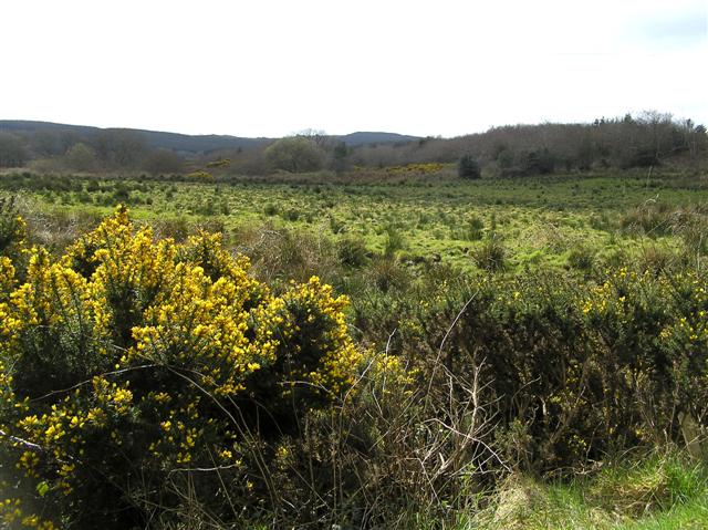
The official Northern Ireland record identifies this as STANDING STONE. Recorded period: PREHISTORIC; UNCERTAIN. The official map point was placed at the centre of the recorded archaeological site from the source map reference.
Likely dating to the Neolithic or Bronze Age, this standing stone may have functioned as a territorial marker, ceremonial monument, or astronomical alignment feature. No specific folklore or detailed use is recorded for this site.
The monument record does not grant public access. Check the route and ask the landowner before entering private land.
- What survives
- Recorded monument
Places near here
 LARGE ENCLOSURE & BURIAL GROUND (O.S. memoir site, unlocated) in KinnyglassLARGE ENCLOSURE & BURIAL GROUND (O.S. memoir site, unlocated) · 1387 yd
 ENCLOSURE in CuldrumENCLOSURE · 1.7 mi
 Aghadowey Presbyterian ChurchChurch · 2.9 mi
 Springwell Forest (South)Forest · 3.6 mi
 Cam ForestForest · 4.0 mi
 CHURCH: GREENALLY (this may be the same as Agivey old church, 12:3) in MullaghmoreCHURCH: GREENALLY (this may be the same as Agivey old church, 12:3) · 4.6 mi
 Ulster War Memorial Clock TowerMemorial · 5.1 mi
 Quilley Picnic AreaPicnic place · 5.9 mi
 Keady MountainMountain / peak · 6.0 mi
 Donald's HillMountain / peak · 6.6 mi
 FORTIFIED HOUSE in ProspectFORTIFIED HOUSE · 6.7 mi
 CASTLE in Town Parks (ballymoney)CASTLE · 7.5 mi