What is recorded here
An upright stone in Ballybrack stands aligned NNW-SSE, its sub-triangular shape suggesting human hands rather than chance. It measures 2.30m long, 0.65m thick and 1.90m high, large enough to mark a boundary, a path or a promise forgotten. Perhaps people once gathered there at sunrise, when its edge caught light before the valley woke.
An upright stone, aligned NNW-SSE (L 2.30m, T0.65m, H 1.90m). It has a sub-triangular profile and appears to be artifically erected (Pers coms Paul Walsh).
Likely dating to the Bronze Age, this standing stone may have had ceremonial or territorial significance. Its alignment and artificial erection suggest intentional placement, possibly linked to ritual practices or landscape marking.
The monument record does not grant public access. Check the route and ask the landowner before entering private land.
- What survives
- Recorded monument
Places near here
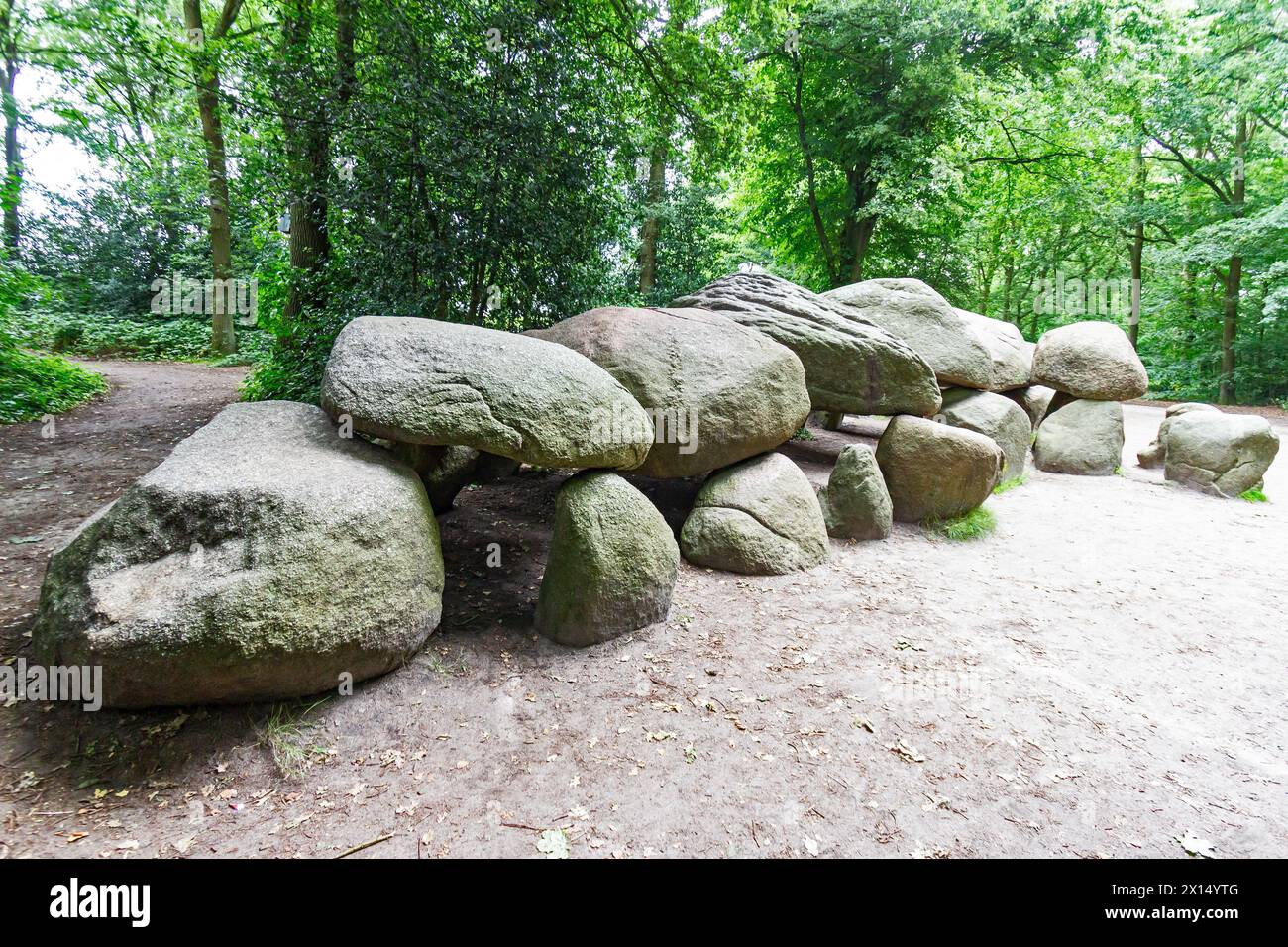 Megalithic structure in Newtown (rathdown By.)Megalithic structure · 1 yd
 Tibradden MountainMountain / peak · 98 yd
 Tibradden Chambered CairnArchaeological place · 105 yd
 Tibradden WoodForest · 417 yd
 O'Connells RockMemorial · 831 yd
 Pine ForestForest · 993 yd
 Dublin Mountain Way informationVisitor information · 1233 yd
 Cruagh MountainMountain / peak · 1371 yd
 Dublin Mountains Partnership InformationVisitor information · 1637 yd
 Larch Hillicehouse · 1756 yd
 Calbeck CastleRuins · 1.1 mi
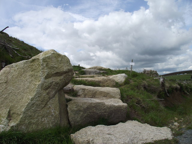 Wicklow WayWalking route · 1.1 mi