What is recorded here
Standing stone in Ballybrack (rathdown By., Glencullen Ed) is a broad triangular stone on the SW moorland slope of Two Rock Mountain, its long edge aligned north to south beside the Glencullen River valley. It rises through shallow peat without visible packing stones, suggesting people set it rather than the mountain simply exposing rock. In that quiet exposed place, the stone may have marked a boundary, a path or a promise made under open sky.
Situated on the SW open moorland slope of Two Rock Mountain on the N side of the Glencullen River valley. A standing stone (0.97m L and 0.3m T; 0.85m H) with a broad triangular outline and its long axis is orientated N–S. No packing stones are evident as the peat cover is c. 0.2m deep (pers. comm. Ivor Kenny, 19 September 2014).
The attached image (DU025-086----_01.jpg) is uploaded courtesy of Ivor Kenny.
Compiled by: Paul Walsh and Padraig Clancy
Revised upload on: 28 July 2018
The monument record does not grant public access. Check the route and ask the landowner before entering private land.
- What survives
- Recorded monument
Places near here
 Enclosure in Ballybrack (rathdown By., Glencullen Ed)Enclosure · 434 yd
 Dublin Mountains Partnership InformationVisitor information · 883 yd
 Dublin Mountain Way informationVisitor information · 885 yd
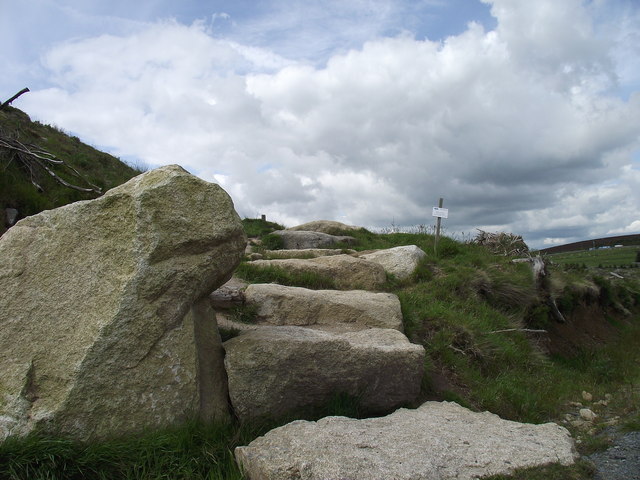 Wicklow WayWalking route · 1008 yd
 Megalithic structure in Ballybrack (rathdown By., Glencullen Ed)Megalithic structure · 1056 yd
 Two Rock MountainMountain / peak · 1130 yd
 O'Connells RockMemorial · 1514 yd
 Tibradden WoodForest · 1724 yd
 Ballyedmonduff ForestForest · 1735 yd
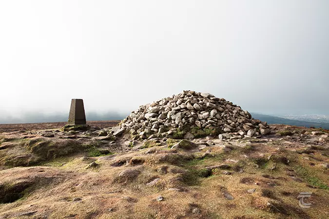 Ticknock - Fairy Castle LoopWalking route · 1743 yd
 Tibradden MountainMountain / peak · 1.1 mi
 Calbeck CastleRuins · 1.2 mi