What is recorded here
Situated on a SE-facing slope in undulating pasture-land. A standing stone marked on 1st ed. (1843) OS 6-inch map but not on subsequent 2nd ed. (1903) implying it was removed between these dates. No visible trace of standing stone in the field or surrounding field boundary, the W boundary indicated on the OS 6-inch maps has also been removed.
The above description is derived from 'The Archaeological Inventory of County Tipperary. Vol. 1 - North Tipperary' compiled by Jean Farrelly and Caimin O'Brien (Dublin: Stationery Office, 2002). In certain instances the entries have been revised and updated in the light of recent research.
Date of upload/revision: 22 September 2008
This remains an important historical record, but the official description says the monument is no longer visible or has been destroyed. The monument record does not grant public access. Check the route and ask the landowner before entering private land.
- What survives
- No visible remains or recorded as destroyed
Places near here
 Enclosure in Ballynamurragh SouthEnclosure · 391 yd
 Rapla Houseicehouse · 1138 yd
 Site of CastleCastle, unclassified · 1151 yd
 Enclosure in LoughournaEnclosure · 1390 yd
 Castle (in Ruins)Castle, unclassified · 1716 yd
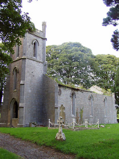 Kilruane Churchchurch/chapel · 1.0 mi
 James Devaney MemorialMemorial · 1.8 mi
 Knigh HillMountain / peak · 2.3 mi
 Old BarracksHeritage attraction · 2.5 mi
 Nenagh Heritage CentreMuseum · 2.7 mi
 Ballycapple WoodForest · 3.7 mi
 Goose IslandIslet · 4.5 mi