What is recorded here
Situated in a small hollow in a flat valley with the Nenagh River flowing c.30m to the N and a stream c.100m to the S, now partly underground. Though this site is indicated on the 1st ed. OS 6-inch map it is not marked on the subsequent 2nd (1904) ed. A triangular-shaped stone (H 2m; dims. 1.35m x 0.33m) of limestone composition, aligned on an E-W axis and tapering up to a point from E to W. There is some modern graffiti incised on stone, including initials RC and RM. No packing-stones evident though grassy tufts are growing at the base of the N side.
The above description is derived from 'The Archaeological Inventory of County Tipperary. Vol. 1 - North Tipperary' compiled by Jean Farrelly and Caimin O'Brien (Dublin: Stationery Office, 2002). In certain instances the entries have been revised and updated in the light of recent research.
Date of upload/revision: 22 September 2008
Likely dating to the Late Neolithic or Bronze Age, this standing stone may have had ritual or territorial significance, possibly aligned with water sources or seasonal movements. Local folklore sometimes associates such stones with ancient burials or protective markers against supernatural forces.
The monument record does not grant public access. Check the route and ask the landowner before entering private land.
- What survives
- Recorded monument
Places near here
 IndicatedFairy fort / earthen ringfort · 425 yd
 Site of Cloghonan CastleCastle, unclassified · 1279 yd
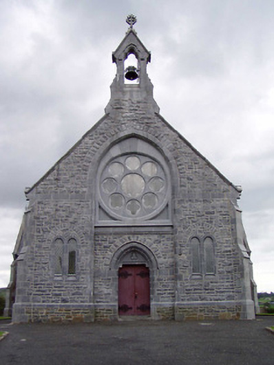 Catholic Church of the Immaculate Conceptionchurch/chapel · 1550 yd
 Church in CloghonanChurch · 1553 yd
 Castle OtwayCastle, tower house · 1704 yd
 Ballincurra HillMountain / peak · 1727 yd
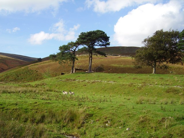 Hillfort in Cloghonan,knockadigeenHillfort · 1.4 mi
 Knockadigeen HillMountain / peak · 1.4 mi
 Killavalla WoodForest · 2.1 mi
 Sweet ChestnutSweet Chestnut · 5.3 mi
 Silvermines ViewpointViewpoint · 5.6 mi
 Our Lady Assumed into HeavenMemorial · 6.1 mi