What is recorded here
This standing stone was discoverd by Mr. Colm Mac Diarmada (pers. comm. December 2014). It is in an upland area of rough grazing and cut-away bogland on a plateau on the SW hillslope of Binn Shléibhe/Ben Levy, overlooking Lough Corrib to the S. There are panoramic views from E through S to NW.
The standing stone is a conglomerate boulder (H 1m; base Wth 0.58m; max. Wth 1.15m; T 0.64m) which is roughly lozenge shaped – the flat surfaces face towards NW and SE. It is sitting on a small mound that is the result of bog being cut away. An area (Wth 0.5m; D 0.2m) around the base of the stone has been poached away. Packing stones are evident. A ring-barrow (GA026-020----) lies c. 260m to the NNW.
Compiled by: Olive Alcock
Date of upload: 22 October 2015
Likely dating to the Late Neolithic or Bronze Age, this standing stone may have functioned as a territorial marker, ceremonial focus, or astronomical alignment point. No specific folklore or recorded use is associated with the site.
The monument record does not grant public access. Check the route and ask the landowner before entering private land.
- What survives
- Recorded monument
Places near here
 Binn ShléibheMountain / peak · 1359 yd
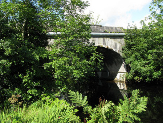 Cornamona Bridgebridge · 1550 yd
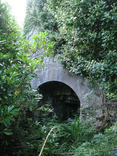 kilnkiln · 1582 yd
 Crannog in Baile DhúlochaCrannog · 1751 yd
 Roeillaun SouthIslet · 1.7 mi
 Bush IslandIslet · 1.7 mi
 Lisheenna-caheraghEnclosure · 2.0 mi
 Ballindeonagh Castle (in ruins)Castle, unclassified · 3.0 mi
 Coill na FaircheWood · 3.4 mi
 Doon RockNamed rock · 3.5 mi
 KeeraunnageeraghMountain / peak · 3.8 mi
 CastlekirkCastle · 3.9 mi