What is recorded here
Gort an Ghalláin, three small fields trapped inside a triangle of roadways in County Kerry, still carries the shadow of a vanished standing stone. The name itself preserves what the landscape forgot, suggesting a tall marker once divided the land before men and carts moved it away. Perhaps it guided travellers through darkness or marked a boundary between neighbours, but the stone is gone now. Only the shape of the fields remains, holding the ghost of its height in the mouths of locals who never saw it stand.
‘Gort an Ghalláin' is the local name given to 3 small fields forming a triangle of land bounded by 3 roadways (information: M. Ó Dubhshláine). This suggests the former presence of a standing stone.
The above description is derived from J. Cuppage, ‘Corca Dhuibhne. Dingle Peninsula archaeological survey. Ballyferriter. Oidhreacht Chorca Dhuibhne’ (1986), no. 138. In certain instances the entries have been revised and updated in the light of recent research.
Date of upload: 4 August 2013
The monument record does not grant public access. Check the route and ask the landowner before entering private land.
- What survives
- Recorded monument
Places near here
 Church in Baile An GhleannaChurch · 93 yd
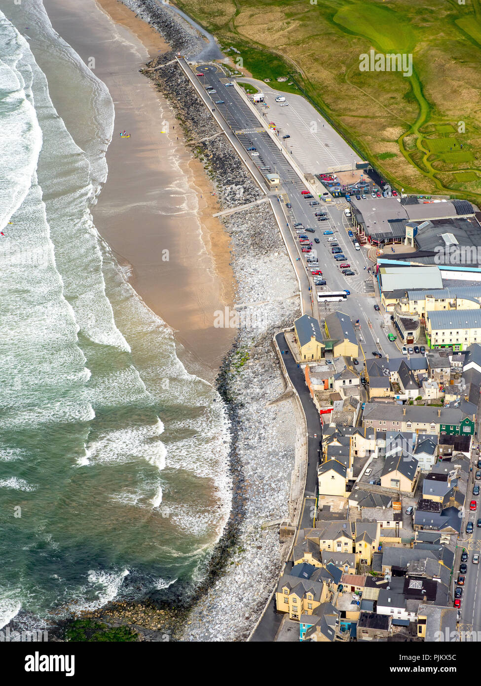 Leacht in An Tseantóir,baile An BhiocáireLeacht · 370 yd
 Man-made underground passage in Baile Na Rátha ThuaidhMan-made underground passage · 665 yd
 Dún BinneHeadland · 783 yd
 Church in Gleann LoicChurch · 936 yd
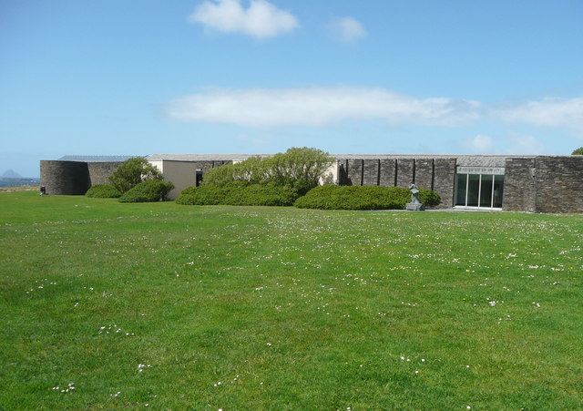 Ionad an Bhlascaoid MhóirMuseum · 1013 yd
 Faill BearnaiscCliff · 1260 yd
 Sliabh an IolairMountain / peak · 1.1 mi
 Traigh an ChomaBeach / strand · 1.3 mi
 Binn an ChomaMountain / peak · 1.3 mi
 Dunmore HeadViewpoint · 1.7 mi
 Clochán MórHeritage attraction · 1.9 mi