What is recorded here
Mortars and concrete swallowed the pasture, but they never measured the stone’s shadow or asked it to move. Inside a modern garden on the edge of Ballyliffin, the old marker still leans north beside new walls, holding the shape of a boundary people have stopped naming.
Located on a gentle E-facing slope, falling from a high rocky ridge at W. There are good views overlooking Pollan Bay which lies 700m to NE, with Malin Head on the distant horizon to N. When recorded by Lacy (1983, 74, no. 336) in the early 1980’s the stone stood on the line of an old field boundary in pastureland. The location has undergone development and is now incorporated into the garden of a modern house within a housing estate on the NW edge of Ballyliffin village.
Indicated on the OS 6-inch maps as ‘Standing stone’ in an area named ‘Cloghorna’, this impressive, upright slab (Wth 0.97m E−W; T c. 0.3m) stands to a height of 3m, with its long axis aligned E-W. It has gently convex sides, tapering to a narrow edge at E and W, which gives it a roughly lozenge-shaped cross-section. The stone narrows towards the top, sloping upwards to E. It now leans to N, and its surface is moderately covered by lichen.
Attached images:
DG003-009----_01.JPG Standing stone viewed from S
DG003-009----_02.JPG Standing stone viewed from E
Compiled by: Jane O'Shaughnessy
Revised upload: 27 October 2021
The monument record does not grant public access. Check the route and ask the landowner before entering private land.
- What survives
- Recorded monument
Places near here
 Oratory of the Assumptionchurch/chapel · 549 yd
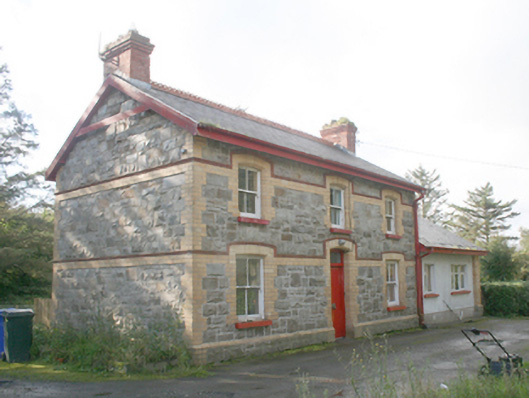 Ballyliffin Railway Stationrailway station · 732 yd
 Promontory fortPromontory fort, coastal · 1213 yd
 Former Gaddyduff Fairy FortFairy fort / ringfort · 1.5 mi
 Clonmany Early Church GraveyardGraveyard · 1.9 mi
 Glenevin Waterfall WalkOfficial walking route · 2.0 mi
 Bawn in CarrickabraghyBawn · 2.3 mi
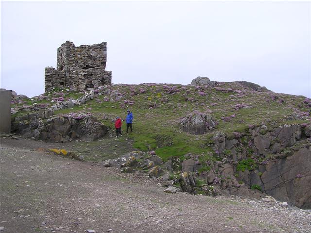 Carrickabraghy CastleCastle, tower house · 2.4 mi
 Glashedy IslandIslet · 2.4 mi
 Glenevin WaterfallWaterfall · 2.5 mi
 Glenevin Waterfall, Clonmanywaterfall · 2.5 mi
 Dough Famine VillageHeritage attraction · 2.9 mi