What is recorded here
An Gabhlán Ard stands twenty-seven decimetres tall on gentle ground above the Owenalondrig river, its vertical sides narrowing almost to a point before leaning slightly southwest. It resembles a knife edge more than a crude block, perhaps marking a boundary, a path or a promise made by people whose names never survived. The stone still occupies that small tract of good land, waiting for someone to remember why it was set upright.
This standing stone is located on a tract of good, well-drained land which slopes very gently W towards the Owenalondrig river. It measures 2.7m in height and 1.1m in width at base, and the sides rise fairly vertically for most of their height before converging almost to a point at top; ENE-WSW. It now inclines slightly to SW.
The above description is derived from J. Cuppage, ‘Corca Dhuibhne. Dingle Peninsula archaeological survey. Ballyferriter. Oidhreacht Chorca Dhuibhne’ (1986), no. 111. In certain instances the entries have been revised and updated in the light of recent research.
Date of upload: 4 August 2013
Likely dating to the Neolithic or Bronze Age, this standing stone may have served a ceremonial or territorial function. No specific folklore or detailed local tradition is recorded for the site.
The monument record does not grant public access. Check the route and ask the landowner before entering private land.
- What survives
- Recorded monument
Places near here
 Hut site in An Gabhlán ArdHut site · 251 yd
 Fairy fort / stone ringfort in An Gabhlán ArdFairy fort / stone ringfort · 313 yd
 Séipéal Eoin Baiste [Catholic Church of Saint John the Baptist]church/chapel · 1499 yd
 Lispole Viaductbridge · 1499 yd
 Lispole Ambush MonumentWayside cross · 1568 yd
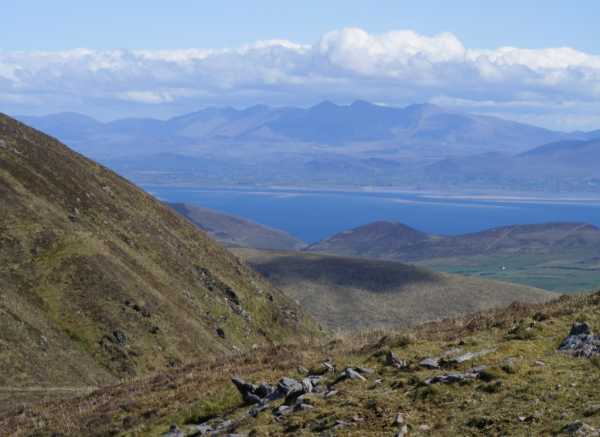 An Cnapán MórMountain / peak · 1.5 mi
 Cruach SceirdeMountain / peak · 1.6 mi
 Caisleán na Mine AirdeCastle · 2.5 mi
 Minard Castle (in ruins)Castle, tower house · 2.5 mi
 Tobar EoinSpring · 2.5 mi
 Maughanablagher CliffsCliff · 2.8 mi
 CarrigavinnaunNamed rock · 2.8 mi