What is recorded here
Aughlish keeps a fin-shaped stone marked uncertain in official records, though the question mark beside standing stone admits the shape resists final description. Prehistoric hands may have selected its ridge because it cut the sky like a knife or warned drivers away from hidden ground. The uncertainty is not a failure; it is a reminder that some places still refuse to be named correctly.
The official Northern Ireland record identifies this as STANDING STONE?: FIN STONE. Recorded period: PREHISTORIC; UNCERTAIN. The official map point was placed at the centre of the recorded archaeological site from the source map reference.
Likely dating to the Neolithic or Bronze Age, the Fin Stone may have functioned as a boundary marker, ritual site, or astronomical alignment feature. Local folklore sometimes associates such stones with protective or supernatural powers.
The monument record does not grant public access. Check the route and ask the landowner before entering private land.
- What survives
- Recorded monument
Places near here
 Ballydonegan SweathouseVisitor information · 1758 yd
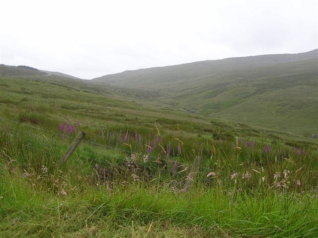 Barnes TopMountain / peak · 1.2 mi
 CASHEL in MoneyhoghanCASHEL · 1.8 mi
 ENCLOSURE?: DOON in CoolnamonanENCLOSURE?: DOON · 1.8 mi
 Meenard Mtn W TopMountain / peak · 2.2 mi
 Banagher Glen - Forest TrailWalking route · 3.1 mi
 Banagher Presbyterian ChurchChurch · 3.1 mi
 Learmount WoodWood · 4.0 mi
 Learmount CastleCountry House · 4.0 mi
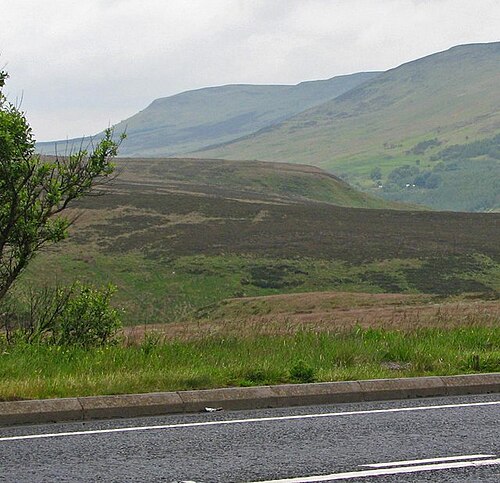 Sperrin MountainsMountain range · 5.3 mi
 Dungiven CastleCastle · 5.4 mi
 Sperrins landscapeHeritage attraction · 5.4 mi