What is recorded here
Standing Stone rises in County Antrim, a bare marker on the open map and possibly a forgotten boundary for people who walked that land before written history. It may have guided herds, marked a meeting place or watched a route through hill and valley. Whatever it recorded, the stone still stands while the hands that set it have returned to soil.
Standing Stone is recorded as a archaeological place in County Antrim. Its open map record supplies this location and any linked names or public references.
Places near here
 Boathouse Visitor Centre & MuseumMuseum · 185 yd
 Boat HouseBoat House · 186 yd
 Kelp HouseRuins · 506 yd
 A.P. SITE: ENCLOSURE in CraigmacaganA.P. SITE: ENCLOSURE · 662 yd
 Enclosure in CraigmacaganEnclosure · 1073 yd
 Brackens CaveCave · 1097 yd
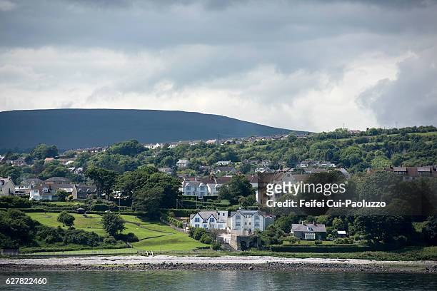 CarrickagileHeadland · 1178 yd
 Ballycarry Trail, RathlinWalking route · 1371 yd
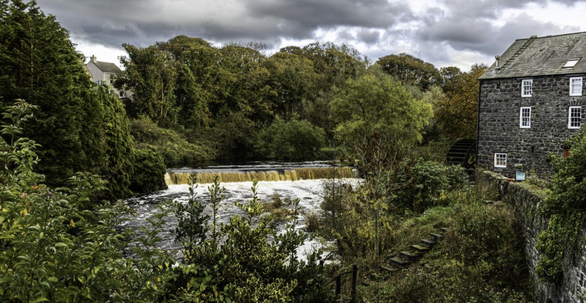 RuenascarriveHeadland · 1481 yd
 Rathlin CastleRuins · 1609 yd
 FORTIFICATION: BRUCE'S CASTLE in BallycarryFORTIFICATION: BRUCE'S CASTLE · 1619 yd
 Rathlin IslandIsland · 1.5 mi