What is recorded here
In undulating countryside on the W bank of the River Barrow. Site of Castle (LA026-009001-) 135m to NW, Tankardstown church (LA026-009004-) and graveyard (LA026-009003-) 90m to S. 'St. Thomas's Well' is visible as a shallow pool of water (Wth c. 1.1m, L c. 1.4m, D c. 0.35m) of water surrounded by concrete with entrance at N. Described in the History of the Queens County as 'An old castle (LA026-009001-) and a church (LA026-009004-), with some ruined houses, are marked in Tankardstown Parish, on Sir William Petty's Maps. Within the large townland of Tankardstown, Queen's County, on the west side of the River Barrow, are to be seen the old church, at present in ruins, and within a graveyard. Near it is St. Thomas' Well . On the north side of it the site of a castle is to be found while about one quarter of a mile to the south, the site of another castle (LA026-010----) may be traced; both of these former erections seem to have been intended to command the passage over the River Barrow' (O'Hanlon and O'Leary 1907, vol. 1, 336).
The above description is derived from the published 'Archaeological Inventory of County Laois' (Dublin Stationery Office, 1995) compiled by P. David Sweetman, Olive Alcock and Bernie Moran. In certain instances the entries have been revised and updated in the light of recent research.
Revised by: Caimin O'Brien
Date of revised upload: 4 October 2022
St. Thomas's Well is traditionally associated with St. Thomas of Canterbury, a 12th-century martyr venerated in Ireland for his healing powers. The well was historically visited for its supposed curative properties, particularly for eye ailments and general infirmities, with rituals often involving the collection of water on specific feast days.
The monument record does not grant public access. Check the route and ask the landowner before entering private land.
- What survives
- Recorded monument
Places near here
 Tankardstown Church (in ruins)Church · 121 yd
 Levitstown Millmill (water) · 374 yd
 Enclosure in TankardstownEnclosure · 683 yd
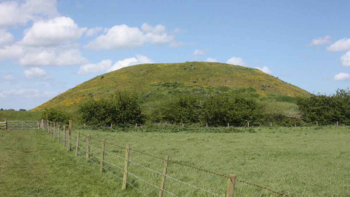 The MoundCastle, motte and bailey · 1353 yd
 Enclosure in Rosetown (grangemellon Ed)Enclosure · 1501 yd
 .Site of St. Legers CastleCastle, unclassified · 1695 yd
 Dollardstown WoodForest · 1.6 mi
 Lorcán Ó TuathailMemorial · 3.2 mi
 Mullaghreelan WoodForest · 3.3 mi
 ProclamationMemorial · 5.0 mi
 Franciscan FriaryHeritage attraction · 5.3 mi
 Castledermot Round TowerHeritage attraction · 5.3 mi