_-_geograph.org.uk_-_6397586.jpg)
What is recorded here
The official Northern Ireland record identifies this as a Grade B1 listed building. Recorded construction date: 1840 - 1859. Current recorded use: Church.
The official record and map point do not grant access. Many historic buildings are privately owned; view them only from public ground unless the owner allows entry.
Places near here
 RATH in MullaghmoreRATH · 781 yd
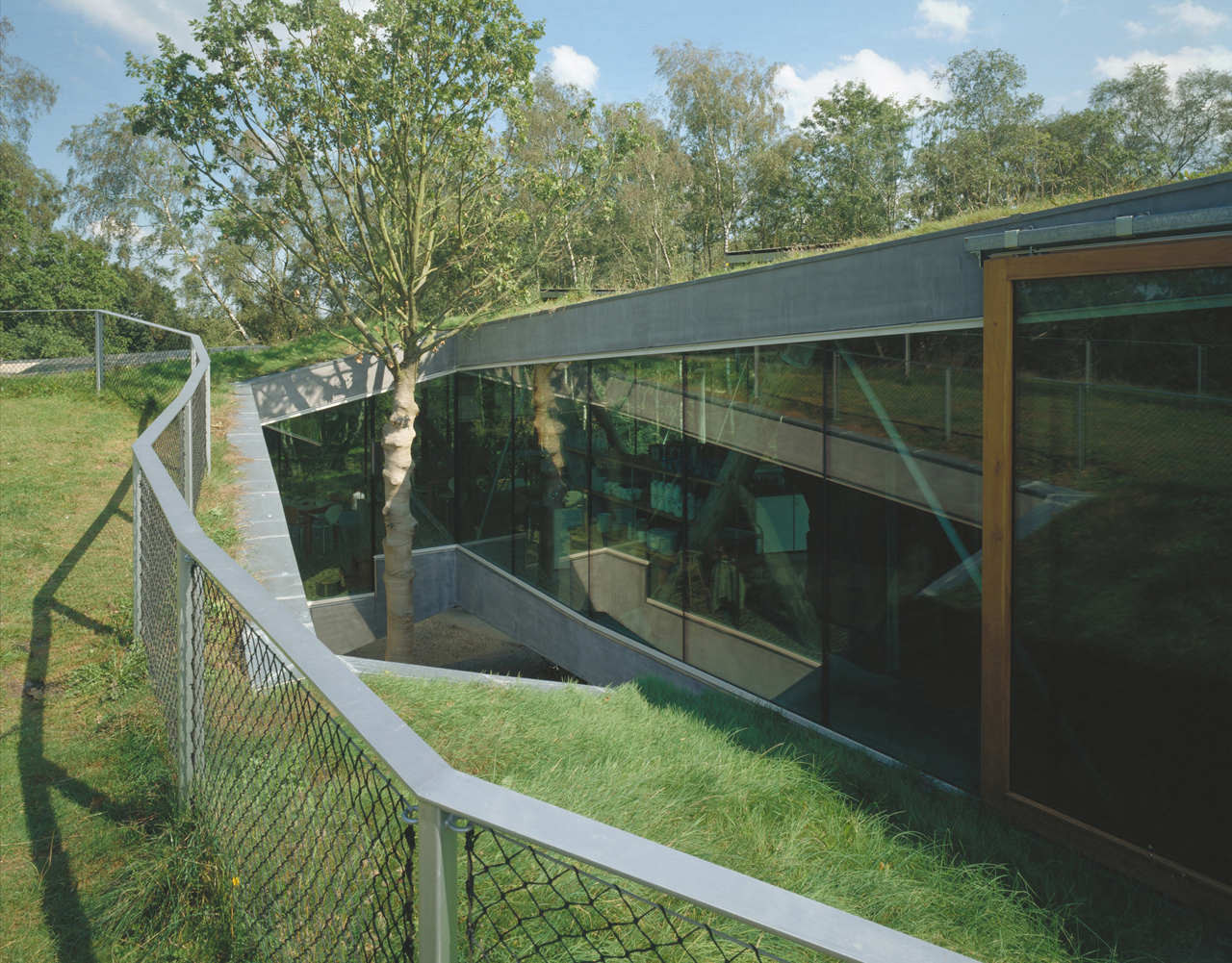 ENCLOSURE in RakeeraghENCLOSURE · 1565 yd
 Clanabogan HouseHouse · 1742 yd
 Clanabogan ChurchChurch · 1.3 mi
 PLANTATION CASTLE (site of): CASTLE HILL (unlocated) in BallynahattyPLANTATION CASTLE (site of): CASTLE HILL (unlocated) · 1.4 mi
 CHURCH & GRAVEYARD in Drumragh (caldwell)CHURCH & GRAVEYARD · 1.8 mi
 Omagh Bombing Memorial PillarMemorial · 2.6 mi
 Omagh bombingtruck bombing · 2.6 mi
 PollnalaghtMountain / peak · 3.6 mi
 SeskinoreForest · 4.4 mi
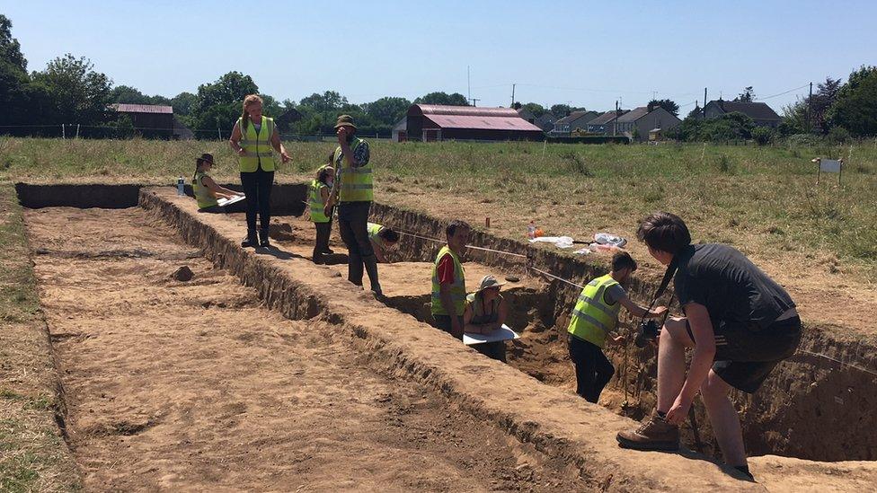 Old MountjoyCastle · 5.0 mi
 Seskinore ForestForest · 5.0 mi
Other information
Photo: Kenneth Allen · CC BY-SA 2.0